Loading...
Searching...
No Matches
◆ lwprint_normalize_latlon()
|
static |
Definition at line 34 of file lwprint.c.
35{
36 /* First remove all the truly excessive trips around the world via up or down. */
37 while (*lat > 270)
38 {
39 *lat -= 360;
40 }
41 while (*lat < -270)
42 {
43 *lat += 360;
44 }
45
46 /* Now see if latitude is past the top or bottom of the world.
47 * Past 90 or -90 puts us on the other side of the earth,
48 * so wrap latitude and add 180 to longitude to reflect that. */
49 if (*lat > 90)
50 {
51 *lat = 180 - *lat;
52 *lon += 180;
53 }
54 if (*lat < -90)
55 {
56 *lat = -180 - *lat;
57 *lon += 180;
58 }
59 /* Now make sure lon is in the normal range. Wrapping longitude
60 * has no effect on latitude. */
61 while (*lon > 180)
62 {
63 *lon -= 360;
64 }
65 while (*lon < -180)
66 {
67 *lon += 360;
68 }
69}
Referenced by lwdoubles_to_latlon().
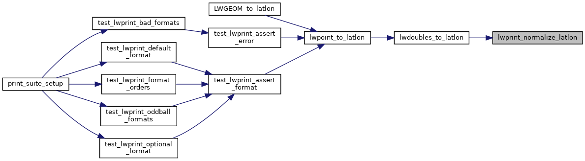
Here is the caller graph for this function: