Loading...
Searching...
No Matches
◆ lw_dist2d_pt_ptarrayarc()
| int lw_dist2d_pt_ptarrayarc | ( | const POINT2D * | p, |
| const POINTARRAY * | pa, | ||
| DISTPTS * | dl | ||
| ) |
Search all the arcs of pointarray to see which one is closest to p1 Returns minimum distance between point and arc pointarray.
Definition at line 1159 of file measures.c.
1160{
1161 uint32_t t;
1166
1168
1170 {
1173 }
1174
1176 {
1179 }
1180
1181 A1 = getPoint2d_cp(pa, 0);
1182
1185
1187 {
1188 dl->twisted = twist;
1189 A2 = getPoint2d_cp(pa, t);
1190 A3 = getPoint2d_cp(pa, t + 1);
1191
1194
1197
1198 A1 = A3;
1199 }
1200
1202}
static const POINT2D * getPoint2d_cp(const POINTARRAY *pa, uint32_t n)
Returns a POINT2D pointer into the POINTARRAY serialized_ptlist, suitable for reading from.
Definition lwinline.h:91
int lw_dist2d_pt_arc(const POINT2D *P, const POINT2D *A1, const POINT2D *A2, const POINT2D *A3, DISTPTS *dl)
Definition measures.c:1512
int lw_dist2d_pt_pt(const POINT2D *thep1, const POINT2D *thep2, DISTPTS *dl)
Compares incoming points and stores the points closest to each other or most far away from each other...
Definition measures.c:2365
Definition liblwgeom.h:375
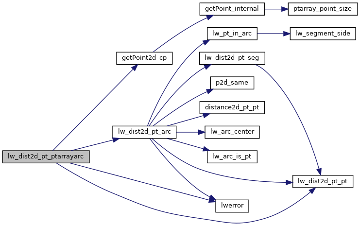
References DIST_MAX, DIST_MIN, DISTPTS::distance, getPoint2d_cp(), lw_dist2d_pt_arc(), lw_dist2d_pt_pt(), LW_FALSE, LW_TRUE, LWDEBUG, lwerror(), DISTPTS::mode, POINTARRAY::npoints, DISTPTS::tolerance, and DISTPTS::twisted.
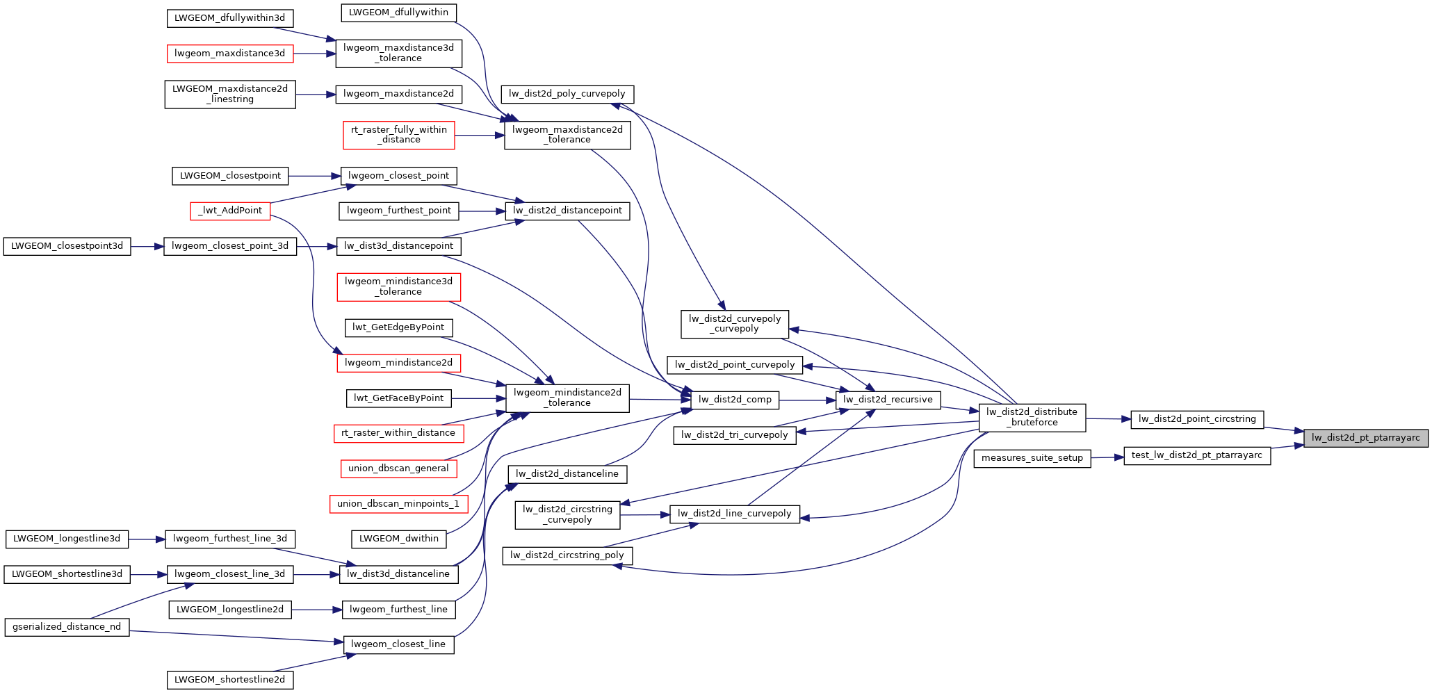
Referenced by lw_dist2d_point_circstring(), and test_lw_dist2d_pt_ptarrayarc().
Here is the call graph for this function:
Here is the caller graph for this function: