Loading...
Searching...
No Matches
◆ point_from_geohash()
| Datum point_from_geohash | ( | PG_FUNCTION_ARGS | ) |
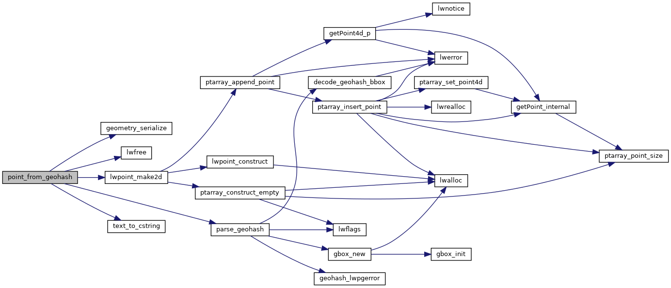
Definition at line 104 of file lwgeom_in_geohash.c.
105{
106 GBOX *box = NULL;
107 LWPOINT *point = NULL;
108 GSERIALIZED *result = NULL;
109 text *geohash_input = NULL;
110 char *geohash = NULL;
111 double lon, lat;
113
114 if (PG_ARGISNULL(0))
115 {
116 PG_RETURN_NULL();
117 }
118
119 if (!PG_ARGISNULL(1))
120 {
121 precision = PG_GETARG_INT32(1);
122 }
123
124 geohash_input = PG_GETARG_TEXT_P(0);
125 geohash = text_to_cstring(geohash_input);
126
128
131
134
135 lwfree(box);
136
137 PG_RETURN_POINTER(result);
138}
static GBOX * parse_geohash(char *geohash, int precision)
Definition lwgeom_in_geohash.c:48
char * text_to_cstring(const text *textptr)
GSERIALIZED * geometry_serialize(LWGEOM *lwgeom)
Definition liblwgeom.h:338
Definition liblwgeom.h:429
Definition liblwgeom.h:443
Definition liblwgeom.h:455
References geometry_serialize(), lwfree(), lwpoint_make2d(), parse_geohash(), precision, SRID_UNKNOWN, text_to_cstring(), GBOX::xmax, GBOX::xmin, GBOX::ymax, and GBOX::ymin.
Here is the call graph for this function: