Loading...
Searching...
No Matches
◆ ptarray_distance_spheroid()
|
static |
Definition at line 1835 of file lwgeodetic.c.
1836{
1837 GEOGRAPHIC_EDGE e1, e2;
1838 GEOGRAPHIC_POINT g1, g2;
1839 GEOGRAPHIC_POINT nearest1, nearest2;
1840 POINT3D A1, A2, B1, B2;
1843 uint32_t i, j;
1845
1846 /* Make result really big, so that everything will be smaller than it */
1847 distance = FLT_MAX;
1848
1849 /* Empty point arrays? Return negative */
1851 return -1.0;
1852
1853 /* Handle point/point case here */
1855 {
1856 p = getPoint2d_cp(pa1, 0);
1858 p = getPoint2d_cp(pa2, 0);
1860 /* Sphere special case, axes equal */
1862 if ( use_sphere )
1864 /* Below tolerance, actual distance isn't of interest */
1867 /* Close or greater than tolerance, get the real answer to be sure */
1868 else
1870 }
1871
1872 /* Handle point/line case here */
1874 {
1875 /* Handle one/many case here */
1876 uint32_t i;
1879
1881 {
1882 pa_one = pa1;
1883 pa_many = pa2;
1884 }
1885 else
1886 {
1887 pa_one = pa2;
1888 pa_many = pa1;
1889 }
1890
1891 /* Initialize our point */
1892 p = getPoint2d_cp(pa_one, 0);
1894
1895 /* Initialize start of line */
1896 p = getPoint2d_cp(pa_many, 0);
1898
1899 /* Iterate through the edges in our line */
1901 {
1902 double d;
1903 p = getPoint2d_cp(pa_many, i);
1905 /* Get the spherical distance between point and edge */
1907 /* New shortest distance! Record this distance / location */
1909 {
1910 distance = d;
1911 nearest2 = g2;
1912 }
1913 /* We've gotten closer than the tolerance... */
1914 if ( d < tolerance )
1915 {
1916 /* Working on a sphere? The answer is correct, return */
1917 if ( use_sphere )
1918 {
1919 return d;
1920 }
1921 /* Far enough past the tolerance that the spheroid calculation won't change things */
1922 else if ( d < tolerance * 0.95 )
1923 {
1924 return d;
1925 }
1926 /* On a spheroid and near the tolerance? Confirm that we are *actually* closer than tolerance */
1927 else
1928 {
1930 /* Yes, closer than tolerance, return! */
1931 if ( d < tolerance )
1932 return d;
1933 }
1934 }
1936 }
1937
1938 /* On sphere, return answer */
1939 if ( use_sphere )
1941 /* On spheroid, calculate final answer based on closest approach */
1942 else
1944
1945 }
1946
1947 /* Initialize start of line 1 */
1948 p = getPoint2d_cp(pa1, 0);
1951
1952
1953 /* Handle line/line case */
1955 {
1956 p = getPoint2d_cp(pa1, i);
1959
1960 /* Initialize start of line 2 */
1961 p = getPoint2d_cp(pa2, 0);
1964
1966 {
1967 double d;
1968
1969 p = getPoint2d_cp(pa2, j);
1972
1977
1979 {
1981 return 0.0;
1982 }
1985
1987 {
1988 distance = d;
1989 nearest1 = g1;
1990 nearest2 = g2;
1991 }
1992 if ( d < tolerance )
1993 {
1994 if ( use_sphere )
1995 {
1996 return d;
1997 }
1998 else
1999 {
2001 if ( d < tolerance )
2002 return d;
2003 }
2004 }
2005
2006 /* Copy end to start to allow a new end value in next iteration */
2008 B1 = B2;
2009 }
2010
2011 /* Copy end to start to allow a new end value in next iteration */
2013 A1 = A2;
2015 }
2017
2018 if ( use_sphere )
2020 else
2022}
void geographic_point_init(double lon, double lat, GEOGRAPHIC_POINT *g)
Initialize a geographic point.
Definition lwgeodetic.c:180
double sphere_distance(const GEOGRAPHIC_POINT *s, const GEOGRAPHIC_POINT *e)
Given two points on a unit sphere, calculate their distance apart in radians.
Definition lwgeodetic.c:948
uint32_t edge_intersects(const POINT3D *A1, const POINT3D *A2, const POINT3D *B1, const POINT3D *B2)
Returns non-zero if edges A and B interact.
Definition lwgeodetic.c:3541
double edge_distance_to_point(const GEOGRAPHIC_EDGE *e, const GEOGRAPHIC_POINT *gp, GEOGRAPHIC_POINT *closest)
Definition lwgeodetic.c:1218
void geog2cart(const GEOGRAPHIC_POINT *g, POINT3D *p)
Convert spherical coordinates to cartesian coordinates on unit sphere.
Definition lwgeodetic.c:404
double edge_distance_to_edge(const GEOGRAPHIC_EDGE *e1, const GEOGRAPHIC_EDGE *e2, GEOGRAPHIC_POINT *closest1, GEOGRAPHIC_POINT *closest2)
Calculate the distance between two edges.
Definition lwgeodetic.c:1269
double spheroid_distance(const GEOGRAPHIC_POINT *a, const GEOGRAPHIC_POINT *b, const SPHEROID *spheroid)
Computes the shortest distance along the surface of the spheroid between two points,...
Definition lwspheroid.c:79
static const POINT2D * getPoint2d_cp(const POINTARRAY *pa, uint32_t n)
Returns a POINT2D pointer into the POINTARRAY serialized_ptlist, suitable for reading from.
Definition lwinline.h:91
Definition liblwgeom.h:375
Definition liblwgeom.h:387
Definition liblwgeom.h:412
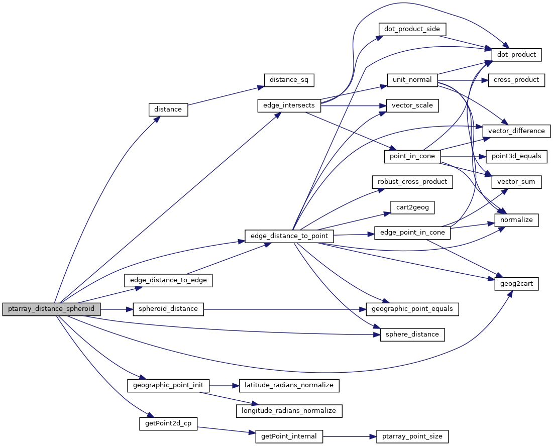
References distance(), edge_distance_to_edge(), edge_distance_to_point(), edge_intersects(), GEOGRAPHIC_EDGE::end, geog2cart(), geographic_point_init(), getPoint2d_cp(), GEOGRAPHIC_POINT::lat, GEOGRAPHIC_POINT::lon, LW_ON_INTERRUPT, LWDEBUG, LWDEBUGF, POINTARRAY::npoints, s, sphere_distance(), spheroid_distance(), GEOGRAPHIC_EDGE::start, POINT2D::x, and POINT2D::y.
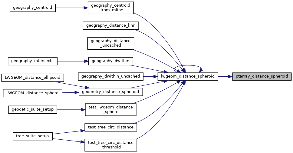
Referenced by lwgeom_distance_spheroid().
Here is the call graph for this function:
Here is the caller graph for this function: