Loading...
Searching...
No Matches
◆ z_to_latitude()
| double z_to_latitude | ( | double | z, |
| int | top | ||
| ) |
Used in great circle to compute the pole of the great circle.
Definition at line 1049 of file lwgeodetic.c.
1050{
1052 double tlat = acos(z);
1055 {
1056 if (top) return M_PI_2;
1057 else return -1.0 * M_PI_2;
1058 }
1059 if (fabs(tlat) > M_PI_2 )
1060 {
1061 tlat = sign * (M_PI - fabs(tlat));
1062 }
1063 else
1064 {
1065 tlat = sign * tlat;
1066 }
1068 return tlat;
1069}
#define SIGNUM(n)
Macro that returns: -1 if n < 0, 1 if n > 0, 0 if n == 0.
Definition liblwgeom_internal.h:139
References FP_IS_ZERO, LWDEBUGF, and SIGNUM.
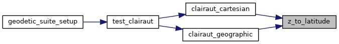
Referenced by clairaut_cartesian(), and clairaut_geographic().
Here is the caller graph for this function: