Loading...
Searching...
No Matches
◆ ptarray_length_spheroid()
| double ptarray_length_spheroid | ( | const POINTARRAY * | pa, |
| const SPHEROID * | s | ||
| ) |
Definition at line 3244 of file lwgeodetic.c.
3245{
3246 GEOGRAPHIC_POINT a, b;
3247 double za = 0.0, zb = 0.0;
3248 POINT4D p;
3249 uint32_t i;
3251 double length = 0.0;
3252 double seglength = 0.0;
3253
3254 /* Return zero on non-sensical inputs */
3256 return 0.0;
3257
3258 /* See if we have a third dimension */
3260
3261 /* Initialize first point */
3262 getPoint4d_p(pa, 0, &p);
3264 if ( hasz )
3265 za = p.z;
3266
3267 /* Loop and sum the length for each segment */
3269 {
3270 seglength = 0.0;
3271 getPoint4d_p(pa, i, &p);
3273 if ( hasz )
3274 zb = p.z;
3275
3276 /* Special sphere case */
3279 /* Spheroid case */
3280 else
3282
3283 /* Add in the vertical displacement if we're in 3D */
3284 if ( hasz )
3285 seglength = sqrt( (zb-za)*(zb-za) + seglength*seglength );
3286
3287 /* Add this segment length to the total */
3288 length += seglength;
3289
3290 /* B gets incremented in the next loop, so we save the value here */
3291 a = b;
3292 za = zb;
3293 }
3294 return length;
3295}
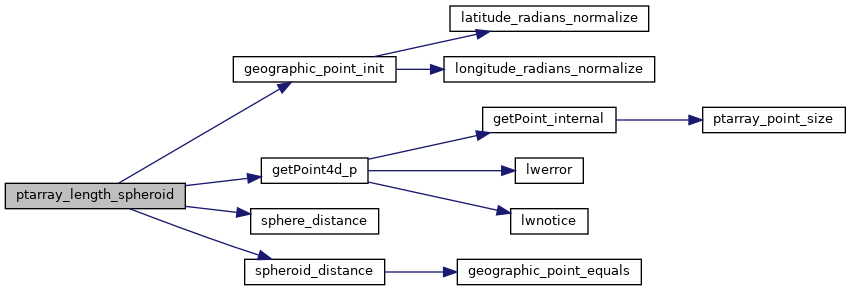
int getPoint4d_p(const POINTARRAY *pa, uint32_t n, POINT4D *point)
Definition lwgeom_api.c:125
void geographic_point_init(double lon, double lat, GEOGRAPHIC_POINT *g)
Initialize a geographic point.
Definition lwgeodetic.c:180
double sphere_distance(const GEOGRAPHIC_POINT *s, const GEOGRAPHIC_POINT *e)
Given two points on a unit sphere, calculate their distance apart in radians.
Definition lwgeodetic.c:948
double spheroid_distance(const GEOGRAPHIC_POINT *a, const GEOGRAPHIC_POINT *b, const SPHEROID *spheroid)
Computes the shortest distance along the surface of the spheroid between two points,...
Definition lwspheroid.c:79
Definition liblwgeom.h:399
References POINTARRAY::flags, FLAGS_GET_Z, geographic_point_init(), getPoint4d_p(), LW_FALSE, POINTARRAY::npoints, s, sphere_distance(), spheroid_distance(), POINT4D::x, POINT4D::y, and POINT4D::z.
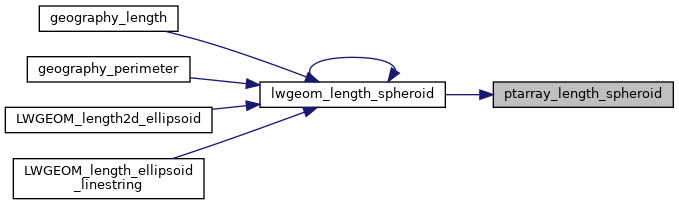
Referenced by lwgeom_length_spheroid().
Here is the call graph for this function:
Here is the caller graph for this function: