Loading...
Searching...
No Matches
◆ ptarray_nudge_geodetic()
|
static |
When features are snapped or sometimes they are just this way, they are very close to the geodetic bounds but slightly over.
This routine nudges those points, and only those points, back over to the bounds. http://trac.osgeo.org/postgis/ticket/1292
Definition at line 3352 of file lwgeodetic.c.
3353{
3354
3355 uint32_t i;
3356 POINT4D p;
3359 static double tolerance = 1e-10;
3360
3361 if ( ! pa )
3363
3365 {
3366 getPoint4d_p(pa, i, &p);
3368 {
3369 p.x = -180.0;
3370 altered = LW_TRUE;
3371 }
3373 {
3374 p.x = 180.0;
3375 altered = LW_TRUE;
3376 }
3378 {
3379 p.y = -90.0;
3380 altered = LW_TRUE;
3381 }
3383 {
3384 p.y = 90.0;
3385 altered = LW_TRUE;
3386 }
3388 {
3389 ptarray_set_point4d(pa, i, &p);
3390 altered = LW_FALSE;
3391 rv = LW_TRUE;
3392 }
3393 }
3394 return rv;
3395}
int getPoint4d_p(const POINTARRAY *pa, uint32_t n, POINT4D *point)
Definition lwgeom_api.c:125
void ptarray_set_point4d(POINTARRAY *pa, uint32_t n, const POINT4D *p4d)
Definition lwgeom_api.c:376
Definition liblwgeom.h:399
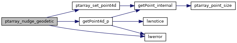
References getPoint4d_p(), LW_FALSE, LW_TRUE, lwerror(), POINTARRAY::npoints, ptarray_set_point4d(), POINT4D::x, and POINT4D::y.
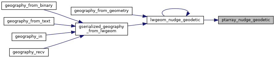
Referenced by lwgeom_nudge_geodetic().
Here is the call graph for this function:
Here is the caller graph for this function: