Loading...
Searching...
No Matches
◆ gserialized2_from_lwpoint()
|
static |
Definition at line 834 of file gserialized2.c.
835{
836 uint8_t *loc;
839
840 assert(point);
841 assert(buf);
842
845
847
848 loc = buf;
849
850 /* Write in the type. */
851 memcpy(loc, &type, sizeof(uint32_t));
852 loc += sizeof(uint32_t);
853 /* Write in the number of points (0 => empty). */
855 loc += sizeof(uint32_t);
856
857 /* Copy in the ordinates. */
859 {
861 loc += ptsize;
862 }
863
864 return (size_t)(loc - buf);
865}
static uint8_t * getPoint_internal(const POINTARRAY *pa, uint32_t n)
Definition lwinline.h:67
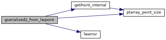
References POINTARRAY::flags, LWPOINT::flags, FLAGS_GET_ZM, getPoint_internal(), LWDEBUGF, lwerror(), POINTARRAY::npoints, LWPOINT::point, POINTTYPE, and ptarray_point_size().
Referenced by gserialized2_from_lwgeom_any().
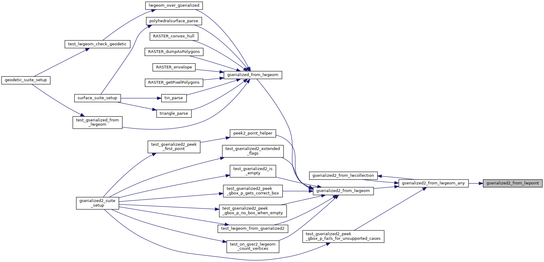
Here is the call graph for this function:
Here is the caller graph for this function: