Loading...
Searching...
No Matches
◆ asgml2_multi_size()
|
static |
Definition at line 429 of file lwout_gml.c.
431{
432 uint32_t i;
433 size_t size;
434 size_t prefixlen = strlen(prefix);
435 LWGEOM *subgeom;
436
437 /* the longest possible multi version */
438 size = sizeof("<MultiLineString></MultiLineString>");
439 size += 2*prefixlen;
440
441 if ( srs ) size += strlen(srs) + sizeof(" srsName=..");
442
444 {
445 subgeom = col->geoms[i];
447 {
448 size += ( sizeof("<pointMember>/") + prefixlen ) * 2;
450 }
452 {
453 size += ( sizeof("<lineStringMember>/") + prefixlen ) * 2;
455 }
457 {
458 size += ( sizeof("<polygonMember>/") + prefixlen ) * 2;
460 }
461 }
462
463 return size;
464}
static size_t asgml2_point_size(const LWPOINT *point, const char *srs, int precision, const char *prefix)
Definition lwout_gml.c:271
static size_t asgml2_line_size(const LWLINE *line, const char *srs, int precision, const char *prefix)
Definition lwout_gml.c:315
static size_t asgml2_poly_size(const LWPOLY *poly, const char *srs, int precision, const char *prefix)
Definition lwout_gml.c:362
Definition liblwgeom.h:443
Definition liblwgeom.h:467
Definition liblwgeom.h:455
Definition liblwgeom.h:503
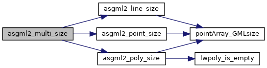
References asgml2_line_size(), asgml2_point_size(), asgml2_poly_size(), LWCOLLECTION::geoms, LINETYPE, LWCOLLECTION::ngeoms, POINTTYPE, POLYGONTYPE, precision, and LWGEOM::type.
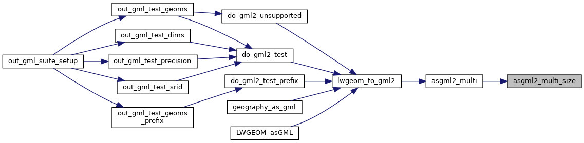
Referenced by asgml2_multi().
Here is the call graph for this function:
Here is the caller graph for this function: