Loading...
Searching...
No Matches
◆ asgml3_collection_size()
|
static |
Definition at line 1631 of file lwout_gml.c.
1632{
1633 uint32_t i;
1634 size_t size;
1635 size_t prefixlen = strlen(prefix);
1636 LWGEOM *subgeom;
1637
1638 size = sizeof("<MultiGeometry></MultiGeometry>") + prefixlen*2;
1639
1640 if (srs) size += strlen(srs) + sizeof(" srsName=..");
1641 if (id) size += strlen(id) + strlen(prefix) + sizeof(" id=..");
1642
1644 {
1645 subgeom = col->geoms[i];
1646 size += ( sizeof("<geometryMember>/") + prefixlen ) * 2;
1648 {
1650 }
1652 {
1654 }
1656 {
1658 }
1660 {
1662 }
1663 else
1665 }
1666
1667 return size;
1668}
int lwgeom_is_collection(const LWGEOM *lwgeom)
Determine whether a LWGEOM can contain sub-geometries or not.
Definition lwgeom.c:1079
static size_t asgml3_poly_size(const LWPOLY *poly, const char *srs, int precision, int opts, const char *prefix, const char *id)
Definition lwout_gml.c:994
static size_t asgml3_point_size(const LWPOINT *point, const char *srs, int precision, int opts, const char *prefix, const char *id)
Definition lwout_gml.c:774
static size_t asgml3_line_size(const LWLINE *line, const char *srs, int precision, int opts, const char *prefix, const char *id)
Definition lwout_gml.c:827
static size_t asgml3_multi_size(const LWCOLLECTION *col, const char *srs, int precision, int opts, const char *prefix, const char *id)
Definition lwout_gml.c:1390
Definition liblwgeom.h:559
Definition liblwgeom.h:443
Definition liblwgeom.h:467
Definition liblwgeom.h:455
Definition liblwgeom.h:503
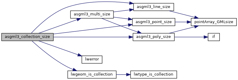
References asgml3_line_size(), asgml3_multi_size(), asgml3_point_size(), asgml3_poly_size(), LWCOLLECTION::geoms, LINETYPE, lwerror(), lwgeom_is_collection(), LWCOLLECTION::ngeoms, POINTTYPE, POLYGONTYPE, precision, and LWGEOM::type.
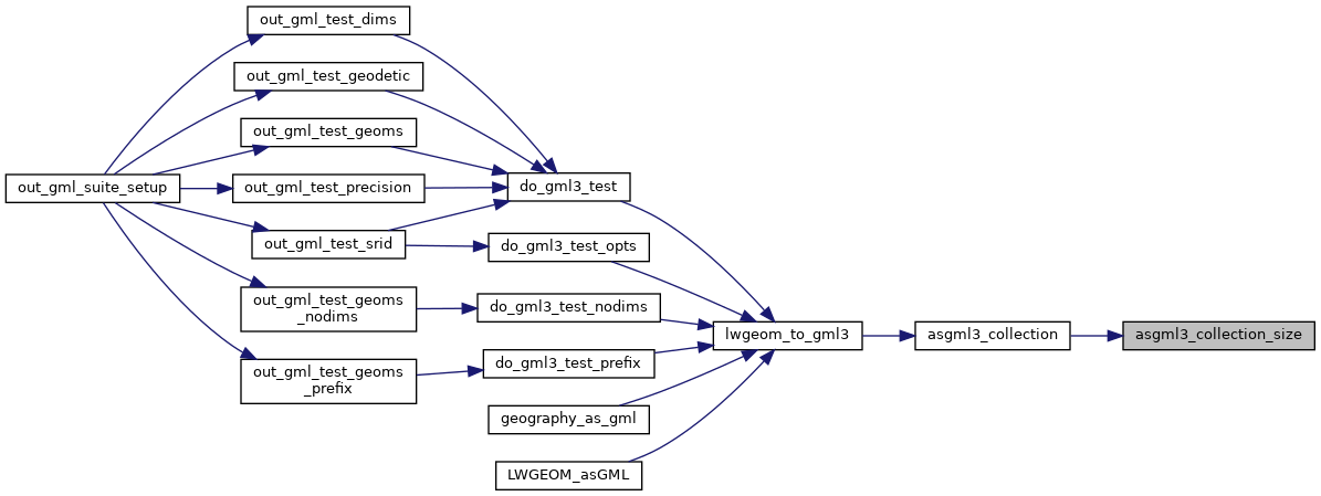
Referenced by asgml3_collection().
Here is the call graph for this function:
Here is the caller graph for this function: