Loading...
Searching...
No Matches
◆ covers()
| Datum covers | ( | PG_FUNCTION_ARGS | ) |
Definition at line 1884 of file postgis/lwgeom_geos.c.
1885{
1886 GSERIALIZED *geom1;
1887 GSERIALIZED *geom2;
1888 int result;
1889 GBOX box1, box2;
1890 PrepGeomCache *prep_cache;
1891
1892 geom1 = PG_GETARG_GSERIALIZED_P(0);
1893 geom2 = PG_GETARG_GSERIALIZED_P(1);
1894
1895 /* A.Covers(Empty) == FALSE */
1897 PG_RETURN_BOOL(false);
1898
1899 gserialized_error_if_srid_mismatch(geom1, geom2, __func__);
1900
1901 /*
1902 * short-circuit 1: if geom2 bounding box is not completely inside
1903 * geom1 bounding box we can return FALSE.
1904 */
1906 gserialized_get_gbox_p(geom2, &box2) )
1907 {
1909 {
1910 PG_RETURN_BOOL(false);
1911 }
1912 }
1913 /*
1914 * short-circuit 2: if geom2 is a point and geom1 is a polygon
1915 * call the point-in-polygon function.
1916 */
1918 {
1922 int retval;
1923
1924 POSTGIS_DEBUG(3, "Point in Polygon test requested...short-circuiting.");
1926 {
1929 lwgeom_free(point);
1930
1931 retval = (pip_result != -1); /* not outside */
1932 }
1934 {
1936 uint32_t i;
1937
1938 retval = LW_TRUE;
1940 {
1942 if (pip_result == -1)
1943 {
1944 retval = LW_FALSE;
1945 break;
1946 }
1947 }
1948
1949 lwmpoint_free(mpoint);
1950 }
1951 else
1952 {
1953 /* Never get here */
1954 elog(ERROR,"Type isn't point or multipoint!");
1955 PG_RETURN_NULL();
1956 }
1957
1958 PG_FREE_IF_COPY(geom1, 0);
1959 PG_FREE_IF_COPY(geom2, 1);
1960 PG_RETURN_BOOL(retval);
1961 }
1962 else
1963 {
1964 POSTGIS_DEBUGF(3, "Covers: type1: %d, type2: %d", gserialized_get_type(geom1), gserialized_get_type(geom2));
1965 }
1966
1967 initGEOS(lwpgnotice, lwgeom_geos_error);
1968
1969 prep_cache = GetPrepGeomCache( fcinfo, geom1, 0 );
1970
1972 {
1973 GEOSGeometry *g1 = POSTGIS2GEOS(geom2);
1975 result = GEOSPreparedCovers( prep_cache->prepared_geom, g1);
1976 GEOSGeom_destroy(g1);
1977 }
1978 else
1979 {
1980 GEOSGeometry *g1;
1981 GEOSGeometry *g2;
1982
1983 g1 = POSTGIS2GEOS(geom1);
1985 g2 = POSTGIS2GEOS(geom2);
1986 if (!g2)
1987 {
1988 GEOSGeom_destroy(g1);
1990 }
1991 result = GEOSRelatePattern( g1, g2, "******FF*" );
1992 GEOSGeom_destroy(g1);
1993 GEOSGeom_destroy(g2);
1994 }
1995
1997
1998 PG_FREE_IF_COPY(geom1, 0);
1999 PG_FREE_IF_COPY(geom2, 1);
2000
2001 PG_RETURN_BOOL(result);
2002
2003}
int gbox_contains_2d(const GBOX *g1, const GBOX *g2)
Return LW_TRUE if the first GBOX contains the second on the 2d plane, LW_FALSE otherwise.
Definition gbox.c:339
void gserialized_error_if_srid_mismatch(const GSERIALIZED *g1, const GSERIALIZED *g2, const char *funcname)
Definition gserialized.c:404
LWGEOM * lwgeom_from_gserialized(const GSERIALIZED *g)
Allocate a new LWGEOM from a GSERIALIZED.
Definition gserialized.c:239
int gserialized_get_gbox_p(const GSERIALIZED *g, GBOX *gbox)
Read the box from the GSERIALIZED or calculate it if necessary.
Definition gserialized.c:65
int gserialized_is_empty(const GSERIALIZED *g)
Check if a GSERIALIZED is empty without deserializing first.
Definition gserialized.c:152
uint32_t gserialized_get_type(const GSERIALIZED *g)
Extract the geometry type from the serialized form (it hides in the anonymous data area,...
Definition gserialized.c:89
PrepGeomCache * GetPrepGeomCache(FunctionCallInfo fcinfo, GSERIALIZED *g1, GSERIALIZED *g2)
Given a couple potential geometries and a function call context, return a prepared structure for one ...
Definition lwgeom_geos_prepared.c:452
RTREE_POLY_CACHE * GetRtreeCache(FunctionCallInfo fcinfo, GSERIALIZED *g1)
Checks for a cache hit against the provided geometry and returns a pre-built index structure (RTREE_P...
Definition lwgeom_rtree.c:432
static int pip_short_circuit(RTREE_POLY_CACHE *poly_cache, LWPOINT *point, GSERIALIZED *gpoly)
Definition postgis/lwgeom_geos.c:143
Definition liblwgeom.h:338
Definition liblwgeom.h:429
Definition liblwgeom.h:443
Definition liblwgeom.h:517
const GEOSPreparedGeometry * prepared_geom
Definition lwgeom_geos_prepared.h:60
Definition lwgeom_geos_prepared.h:56
The tree structure used for fast P-i-P tests by point_in_multipolygon_rtree()
Definition lwgeom_rtree.h:59
References gbox_contains_2d(), PrepGeomCache::gcache, LWMPOINT::geoms, GetPrepGeomCache(), GetRtreeCache(), gserialized_error_if_srid_mismatch(), gserialized_get_gbox_p(), gserialized_get_type(), gserialized_is_empty(), HANDLE_GEOS_ERROR, is_point(), is_poly(), LW_FALSE, LW_TRUE, lwgeom_as_lwmpoint(), lwgeom_as_lwpoint(), lwgeom_free(), lwgeom_from_gserialized(), lwgeom_geos_error(), lwmpoint_free(), MULTIPOINTTYPE, LWMPOINT::ngeoms, pip_short_circuit(), POINTTYPE, POSTGIS2GEOS(), and PrepGeomCache::prepared_geom.
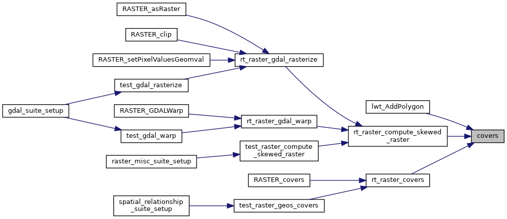
Referenced by lwt_AddPolygon(), rt_raster_compute_skewed_raster(), and rt_raster_covers().
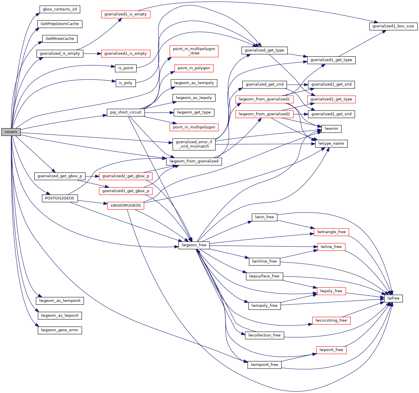
Here is the call graph for this function:
Here is the caller graph for this function: