Loading...
Searching...
No Matches
◆ touches()
| Datum touches | ( | PG_FUNCTION_ARGS | ) |
Definition at line 2313 of file postgis/lwgeom_geos.c.
2314{
2315 GSERIALIZED *geom1;
2316 GSERIALIZED *geom2;
2317 GEOSGeometry *g1, *g2;
2318 char result;
2319 GBOX box1, box2;
2320
2321 geom1 = PG_GETARG_GSERIALIZED_P(0);
2322 geom2 = PG_GETARG_GSERIALIZED_P(1);
2323 gserialized_error_if_srid_mismatch(geom1, geom2, __func__);
2324
2325 /* A.Touches(Empty) == FALSE */
2327 PG_RETURN_BOOL(false);
2328
2329 /*
2330 * short-circuit 1: if geom2 bounding box does not overlap
2331 * geom1 bounding box we can return FALSE.
2332 */
2334 gserialized_get_gbox_p(geom2, &box2) )
2335 {
2337 {
2338 PG_RETURN_BOOL(false);
2339 }
2340 }
2341
2342 initGEOS(lwpgnotice, lwgeom_geos_error);
2343
2344 g1 = POSTGIS2GEOS(geom1 );
2345 if (!g1)
2347
2348 g2 = POSTGIS2GEOS(geom2 );
2349 if (!g2)
2350 {
2351 GEOSGeom_destroy(g1);
2353 }
2354
2355 result = GEOSTouches(g1,g2);
2356
2357 GEOSGeom_destroy(g1);
2358 GEOSGeom_destroy(g2);
2359
2361
2362 PG_FREE_IF_COPY(geom1, 0);
2363 PG_FREE_IF_COPY(geom2, 1);
2364
2365 PG_RETURN_BOOL(result);
2366}
int gbox_overlaps_2d(const GBOX *g1, const GBOX *g2)
Return LW_TRUE if the GBOX overlaps on the 2d plane, LW_FALSE otherwise.
Definition gbox.c:323
void gserialized_error_if_srid_mismatch(const GSERIALIZED *g1, const GSERIALIZED *g2, const char *funcname)
Definition gserialized.c:404
int gserialized_get_gbox_p(const GSERIALIZED *g, GBOX *gbox)
Read the box from the GSERIALIZED or calculate it if necessary.
Definition gserialized.c:65
int gserialized_is_empty(const GSERIALIZED *g)
Check if a GSERIALIZED is empty without deserializing first.
Definition gserialized.c:152
Definition liblwgeom.h:338
Definition liblwgeom.h:429
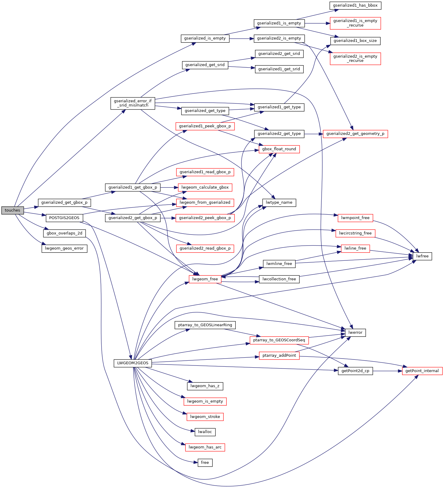
References gbox_overlaps_2d(), gserialized_error_if_srid_mismatch(), gserialized_get_gbox_p(), gserialized_is_empty(), HANDLE_GEOS_ERROR, LW_FALSE, lwgeom_geos_error(), and POSTGIS2GEOS().
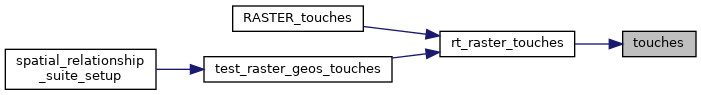
Referenced by rt_raster_touches().
Here is the call graph for this function:
Here is the caller graph for this function: