Loading...
Searching...
No Matches
◆ boundary()
| Datum boundary | ( | PG_FUNCTION_ARGS | ) |
Definition at line 695 of file postgis/lwgeom_geos.c.
696{
697 GSERIALIZED *geom1;
698 GEOSGeometry *g1, *g3;
699 GSERIALIZED *result;
700 LWGEOM *lwgeom;
701 int32_t srid;
702
703 geom1 = PG_GETARG_GSERIALIZED_P(0);
704
705 /* Empty.Boundary() == Empty */
707 PG_RETURN_POINTER(geom1);
708
709 srid = gserialized_get_srid(geom1);
710
711 lwgeom = lwgeom_from_gserialized(geom1);
712 if ( ! lwgeom ) {
713 lwpgerror("POSTGIS2GEOS: unable to deserialize input");
714 PG_RETURN_NULL();
715 }
716
717 /* GEOS doesn't do triangle type, so we special case that here */
719 {
721 result = geometry_serialize(lwgeom);
722 lwgeom_free(lwgeom);
723 PG_RETURN_POINTER(result);
724 }
725
726 initGEOS(lwpgnotice, lwgeom_geos_error);
727
728 g1 = LWGEOM2GEOS(lwgeom, 0);
729 lwgeom_free(lwgeom);
730
731 if (!g1)
733
734 g3 = GEOSBoundary(g1);
735
736 if (!g3)
737 {
738 GEOSGeom_destroy(g1);
740 }
741
742 POSTGIS_DEBUGF(3, "result: %s", GEOSGeomToWKT(g3));
743
744 GEOSSetSRID(g3, srid);
745
747
748 if (!result)
749 {
750 GEOSGeom_destroy(g1);
751 GEOSGeom_destroy(g3);
752 elog(NOTICE,
753 "GEOS2POSTGIS threw an error (result postgis geometry "
754 "formation)!");
755 PG_RETURN_NULL(); /* never get here */
756 }
757
758 GEOSGeom_destroy(g1);
759 GEOSGeom_destroy(g3);
760
761 PG_FREE_IF_COPY(geom1, 0);
762
763 PG_RETURN_POINTER(result);
764}
int32_t gserialized_get_srid(const GSERIALIZED *g)
Extract the SRID from the serialized form (it is packed into three bytes so this is a handy function)...
Definition gserialized.c:126
LWGEOM * lwgeom_from_gserialized(const GSERIALIZED *g)
Allocate a new LWGEOM from a GSERIALIZED.
Definition gserialized.c:239
int gserialized_is_empty(const GSERIALIZED *g)
Check if a GSERIALIZED is empty without deserializing first.
Definition gserialized.c:152
int gserialized_has_z(const GSERIALIZED *g)
Check if a GSERIALIZED has a Z ordinate.
Definition gserialized.c:174
GEOSGeometry * LWGEOM2GEOS(const LWGEOM *lwgeom, uint8_t autofix)
Definition liblwgeom/lwgeom_geos.c:390
GSERIALIZED * GEOS2POSTGIS(GEOSGeom geom, char want3d)
Definition postgis/lwgeom_geos.c:2660
GSERIALIZED * geometry_serialize(LWGEOM *lwgeom)
Definition liblwgeom.h:429
Definition liblwgeom.h:443
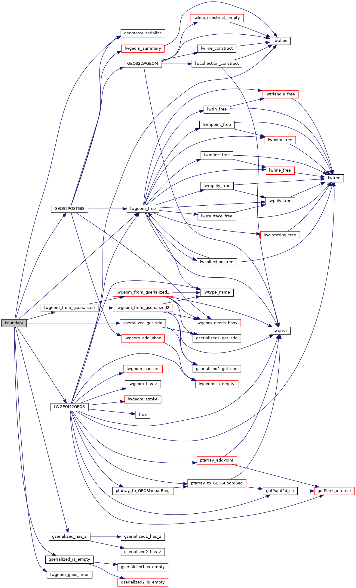
References geometry_serialize(), GEOS2POSTGIS(), gserialized_get_srid(), gserialized_has_z(), gserialized_is_empty(), HANDLE_GEOS_ERROR, LINETYPE, LWGEOM2GEOS(), lwgeom_free(), lwgeom_from_gserialized(), lwgeom_geos_error(), TRIANGLETYPE, and LWGEOM::type.
Here is the call graph for this function: