Loading...
Searching...
No Matches
◆ overlaps()
| Datum overlaps | ( | PG_FUNCTION_ARGS | ) |
Definition at line 1621 of file postgis/lwgeom_geos.c.
1622{
1623 GSERIALIZED *geom1;
1624 GSERIALIZED *geom2;
1625 GEOSGeometry *g1, *g2;
1626 char result;
1627 GBOX box1, box2;
1628
1629 geom1 = PG_GETARG_GSERIALIZED_P(0);
1630 geom2 = PG_GETARG_GSERIALIZED_P(1);
1631 gserialized_error_if_srid_mismatch(geom1, geom2, __func__);
1632
1633 /* A.Overlaps(Empty) == FALSE */
1635 PG_RETURN_BOOL(false);
1636
1637 /*
1638 * short-circuit 1: if geom2 bounding box does not overlap
1639 * geom1 bounding box we can return FALSE.
1640 */
1642 gserialized_get_gbox_p(geom2, &box2) )
1643 {
1645 {
1646 PG_RETURN_BOOL(false);
1647 }
1648 }
1649
1650 initGEOS(lwpgnotice, lwgeom_geos_error);
1651
1652 g1 = POSTGIS2GEOS(geom1);
1653 if (!g1)
1655
1656 g2 = POSTGIS2GEOS(geom2);
1657
1658 if (!g2)
1659 {
1660 GEOSGeom_destroy(g1);
1662 }
1663
1664 result = GEOSOverlaps(g1,g2);
1665
1666 GEOSGeom_destroy(g1);
1667 GEOSGeom_destroy(g2);
1669
1670 PG_FREE_IF_COPY(geom1, 0);
1671 PG_FREE_IF_COPY(geom2, 1);
1672
1673 PG_RETURN_BOOL(result);
1674}
int gbox_overlaps_2d(const GBOX *g1, const GBOX *g2)
Return LW_TRUE if the GBOX overlaps on the 2d plane, LW_FALSE otherwise.
Definition gbox.c:323
void gserialized_error_if_srid_mismatch(const GSERIALIZED *g1, const GSERIALIZED *g2, const char *funcname)
Definition gserialized.c:404
int gserialized_get_gbox_p(const GSERIALIZED *g, GBOX *gbox)
Read the box from the GSERIALIZED or calculate it if necessary.
Definition gserialized.c:65
int gserialized_is_empty(const GSERIALIZED *g)
Check if a GSERIALIZED is empty without deserializing first.
Definition gserialized.c:152
Definition liblwgeom.h:338
Definition liblwgeom.h:429
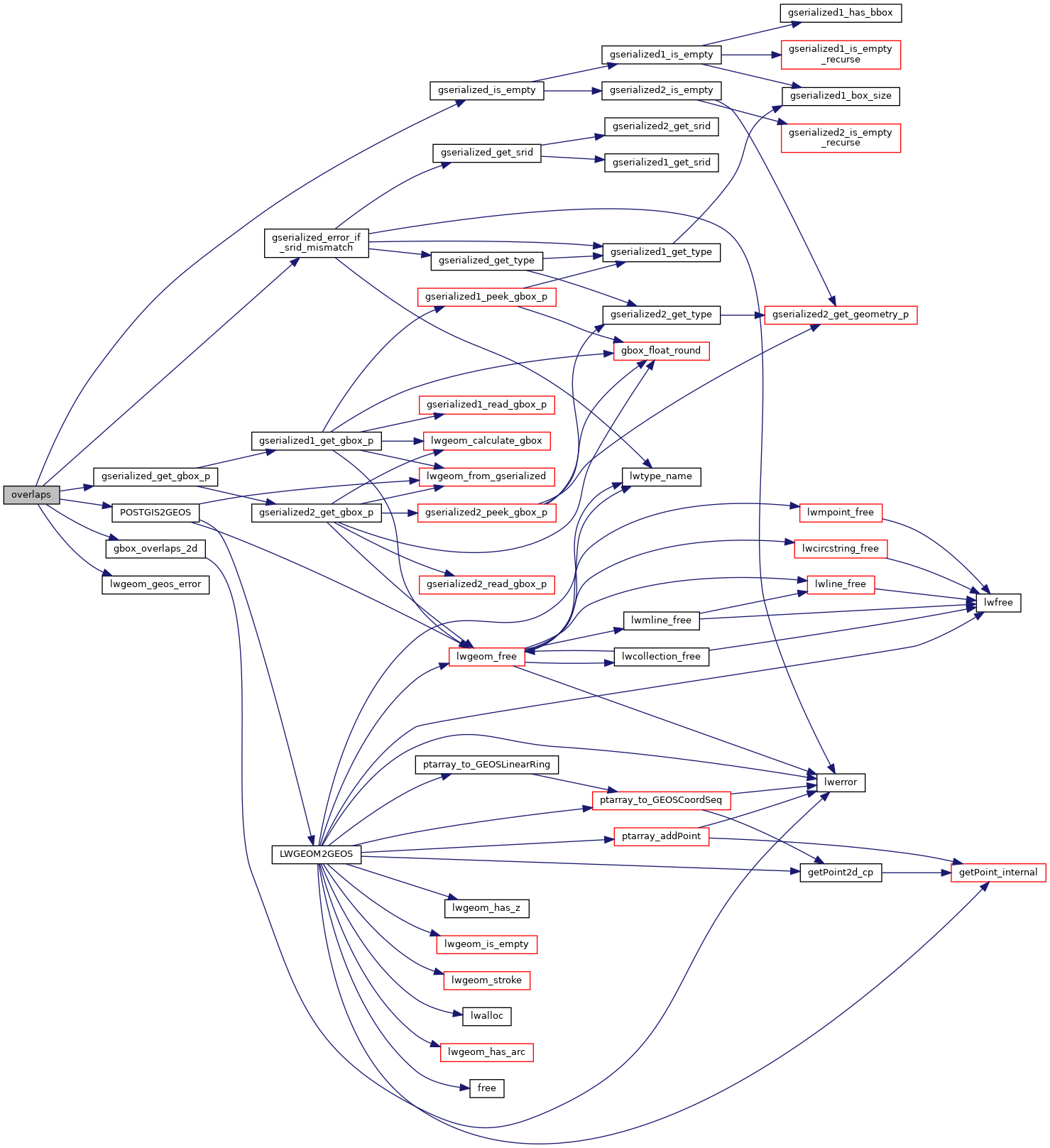
References gbox_overlaps_2d(), gserialized_error_if_srid_mismatch(), gserialized_get_gbox_p(), gserialized_is_empty(), HANDLE_GEOS_ERROR, lwgeom_geos_error(), and POSTGIS2GEOS().
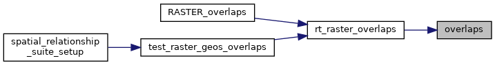
Referenced by rt_raster_overlaps().
Here is the call graph for this function:
Here is the caller graph for this function: