Loading...
Searching...
No Matches
◆ RASTER_GDALWarp()
| Datum RASTER_GDALWarp | ( | PG_FUNCTION_ARGS | ) |
Definition at line 448 of file rtpg_gdal.c.
449{
450 rt_pgraster *pgraster = NULL;
451 rt_pgraster *pgrast = NULL;
454
455 text *algtext = NULL;
456 char *algchar = NULL;
457 GDALResampleAlg alg = GRA_NearestNeighbour;
458 double max_err = 0.125;
459
461 char *src_srs = NULL;
463 char *dst_srs = NULL;
464 int no_srid = 0;
465
466 double scale[2] = {0};
467 double *scale_x = NULL;
468 double *scale_y = NULL;
469
470 double gridw[2] = {0};
471 double *grid_xw = NULL;
472 double *grid_yw = NULL;
473
474 double skew[2] = {0};
475 double *skew_x = NULL;
476 double *skew_y = NULL;
477
478 int dim[2] = {0};
479 int *dim_x = NULL;
480 int *dim_y = NULL;
481
483
484 /* pgraster is null, return null */
485 if (PG_ARGISNULL(0))
486 PG_RETURN_NULL();
487 pgraster = (rt_pgraster *) PG_DETOAST_DATUM(PG_GETARG_DATUM(0));
488
489 /* raster */
491 if (!raster) {
492 PG_FREE_IF_COPY(pgraster, 0);
493 elog(ERROR, "RASTER_GDALWarp: Could not deserialize raster");
494 PG_RETURN_NULL();
495 }
496
497 /* resampling algorithm */
498 if (!PG_ARGISNULL(1)) {
499 algtext = PG_GETARG_TEXT_P(1);
501 alg = rt_util_gdal_resample_alg(algchar);
502 }
504
505 /* max error */
506 if (!PG_ARGISNULL(2)) {
507 max_err = PG_GETARG_FLOAT8(2);
508 if (max_err < 0.) max_err = 0.;
509 }
511
512 /* source SRID */
515
516 /* target SRID */
517 if (!PG_ARGISNULL(3)) {
518 dst_srid = clamp_srid(PG_GETARG_INT32(3));
520 rt_raster_destroy(raster);
521 PG_FREE_IF_COPY(pgraster, 0);
522 elog(ERROR, "RASTER_GDALWarp: %d is an invalid target SRID", dst_srid);
523 PG_RETURN_NULL();
524 }
525 }
526 else
527 dst_srid = src_srid;
529
530 /* target SRID != src SRID, error */
532 rt_raster_destroy(raster);
533 PG_FREE_IF_COPY(pgraster, 0);
534 elog(ERROR, "RASTER_GDALWarp: Input raster has unknown (%d) SRID", src_srid);
535 PG_RETURN_NULL();
536 }
537 /* target SRID == src SRID, no reprojection */
538 else if (dst_srid == src_srid) {
539 no_srid = 1;
540 }
541
542 /* scale x */
543 if (!PG_ARGISNULL(4)) {
544 scale[0] = PG_GETARG_FLOAT8(4);
546 scale_x = &scale[0];
547 }
548
549 /* scale y */
550 if (!PG_ARGISNULL(5)) {
551 scale[1] = PG_GETARG_FLOAT8(5);
553 scale_y = &scale[1];
554 }
555
556 /* grid alignment x */
557 if (!PG_ARGISNULL(6)) {
558 gridw[0] = PG_GETARG_FLOAT8(6);
559 grid_xw = &gridw[0];
560 }
561
562 /* grid alignment y */
563 if (!PG_ARGISNULL(7)) {
564 gridw[1] = PG_GETARG_FLOAT8(7);
565 grid_yw = &gridw[1];
566 }
567
568 /* skew x */
569 if (!PG_ARGISNULL(8)) {
570 skew[0] = PG_GETARG_FLOAT8(8);
572 skew_x = &skew[0];
573 }
574
575 /* skew y */
576 if (!PG_ARGISNULL(9)) {
577 skew[1] = PG_GETARG_FLOAT8(9);
579 skew_y = &skew[1];
580 }
581
582 /* width */
583 if (!PG_ARGISNULL(10)) {
584 dim[0] = PG_GETARG_INT32(10);
585 if (dim[0] < 0) dim[0] = 0;
586 if (dim[0] > 0) dim_x = &dim[0];
587 }
588
589 /* height */
590 if (!PG_ARGISNULL(11)) {
591 dim[1] = PG_GETARG_INT32(11);
592 if (dim[1] < 0) dim[1] = 0;
593 if (dim[1] > 0) dim_y = &dim[1];
594 }
595
596 /* check that at least something is to be done */
597 if (
598 (dst_srid == SRID_UNKNOWN) &&
599 (scale_x == NULL) && (scale_y == NULL) &&
600 (grid_xw == NULL) && (grid_yw == NULL) &&
601 (skew_x == NULL) && (skew_y == NULL) &&
602 (dim_x == NULL) && (dim_y == NULL)
603 ) {
604 elog(NOTICE, "No resampling parameters provided. Returning original raster");
605 rt_raster_destroy(raster);
606 PG_RETURN_POINTER(pgraster);
607 }
608 /* both values of alignment must be provided if any one is provided */
609 else if (
610 (grid_xw != NULL && grid_yw == NULL) ||
611 (grid_xw == NULL && grid_yw != NULL)
612 ) {
613 elog(NOTICE, "Values must be provided for both X and Y when specifying the alignment. Returning original raster");
614 rt_raster_destroy(raster);
615 PG_RETURN_POINTER(pgraster);
616 }
617 /* both values of scale must be provided if any one is provided */
618 else if (
619 (scale_x != NULL && scale_y == NULL) ||
620 (scale_x == NULL && scale_y != NULL)
621 ) {
622 elog(NOTICE, "Values must be provided for both X and Y when specifying the scale. Returning original raster");
623 rt_raster_destroy(raster);
624 PG_RETURN_POINTER(pgraster);
625 }
626 /* scale and width/height provided */
627 else if (
628 (scale_x != NULL || scale_y != NULL) &&
629 (dim_x != NULL || dim_y != NULL)
630 ) {
631 elog(NOTICE, "Scale X/Y and width/height are mutually exclusive. Only provide one. Returning original raster");
632 rt_raster_destroy(raster);
633 PG_RETURN_POINTER(pgraster);
634 }
635
636 /* get srses from srids */
637 if (!no_srid) {
638 /* source srs */
639 src_srs = rtpg_getSR(src_srid);
640 if (NULL == src_srs) {
641 rt_raster_destroy(raster);
642 PG_FREE_IF_COPY(pgraster, 0);
643 elog(ERROR, "RASTER_GDALWarp: Input raster has unknown SRID (%d)", src_srid);
644 PG_RETURN_NULL();
645 }
647
648 dst_srs = rtpg_getSR(dst_srid);
649 if (NULL == dst_srs) {
650 pfree(src_srs);
651 rt_raster_destroy(raster);
652 PG_FREE_IF_COPY(pgraster, 0);
653 elog(ERROR, "RASTER_GDALWarp: Target SRID (%d) is unknown", dst_srid);
654 PG_RETURN_NULL();
655 }
657 }
658
660 raster,
661 src_srs, dst_srs,
662 scale_x, scale_y,
663 dim_x, dim_y,
664 NULL, NULL,
665 grid_xw, grid_yw,
666 skew_x, skew_y,
667 alg, max_err);
668 rt_raster_destroy(raster);
669 PG_FREE_IF_COPY(pgraster, 0);
670 if (!no_srid) {
671 pfree(src_srs);
672 pfree(dst_srs);
673 }
674 if (!rast) {
675 elog(ERROR, "RASTER_band: Could not create transformed raster");
676 PG_RETURN_NULL();
677 }
678
679 /* add target SRID */
680 rt_raster_set_srid(rast, dst_srid);
681
682 pgrast = rt_raster_serialize(rast);
683 rt_raster_destroy(rast);
684
685 if (NULL == pgrast) PG_RETURN_NULL();
686
688
689 SET_VARSIZE(pgrast, pgrast->size);
690 PG_RETURN_POINTER(pgrast);
691}
int32_t clamp_srid(int32_t srid)
Return a valid SRID from an arbitrary integer Raises a notice if what comes out is different from wha...
Definition lwutil.c:333
void rt_raster_destroy(rt_raster raster)
Release memory associated to a raster.
Definition rt_raster.c:82
GDALResampleAlg rt_util_gdal_resample_alg(const char *algname)
Convert cstring name to GDAL Resample Algorithm.
Definition rt_util.c:93
void * rt_raster_serialize(rt_raster raster)
Return this raster in serialized form.
Definition rt_serialize.c:521
rt_raster rt_raster_gdal_warp(rt_raster raster, const char *src_srs, const char *dst_srs, double *scale_x, double *scale_y, int *width, int *height, double *ul_xw, double *ul_yw, double *grid_xw, double *grid_yw, double *skew_x, double *skew_y, GDALResampleAlg resample_alg, double max_err)
Return a warped raster using GDAL Warp API.
Definition rt_warp.c:178
rt_raster rt_raster_deserialize(void *serialized, int header_only)
Return a raster from a serialized form.
Definition rt_serialize.c:725
raster
Be careful!! Zeros function's input parameter can be a (height x width) array, not (width x height): ...
Definition rtrowdump.py:121
char * text_to_cstring(const text *textptr)
Definition librtcore.h:2285
References clamp_srid(), FALSE, FLT_NEQ, POSTGIS_RT_DEBUG, POSTGIS_RT_DEBUGF, rt_raster_deserialize(), rt_raster_destroy(), rt_raster_gdal_warp(), rt_raster_get_srid(), rt_raster_serialize(), rt_raster_set_srid(), rt_util_gdal_resample_alg(), rtpg_getSR(), rtpg_strtoupper(), rtpg_trim(), rt_raster_serialized_t::size, SRID_UNKNOWN, and text_to_cstring().
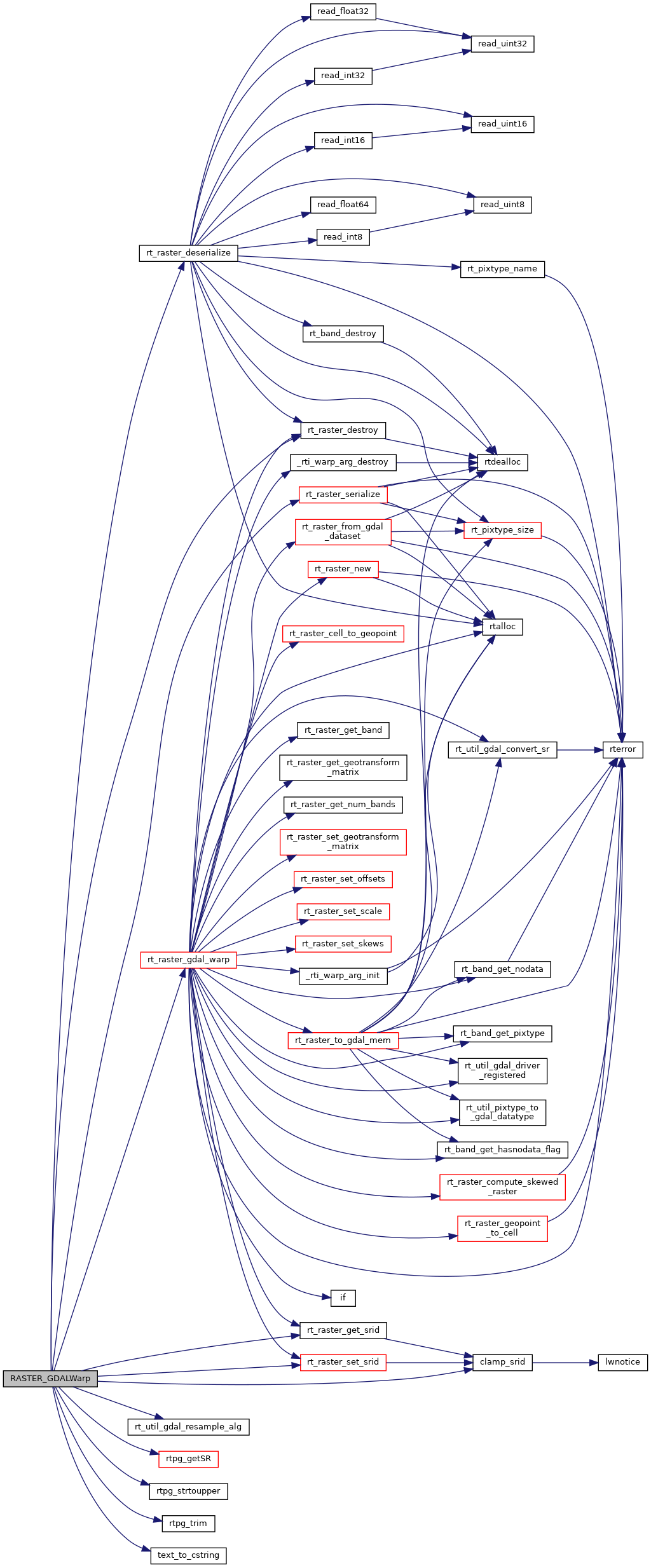
Here is the call graph for this function: