Loading...
Searching...
No Matches
◆ lwgeom_locate_between_m()
Definition at line 662 of file lwgeom_functions_lrs.c.
663{
664 POSTGIS_DEBUGF(2, "lwgeom_locate_between called for lwgeom %p", lwin);
665
667 {
670 (LWPOINT *)lwin, m0, m1);
673 (LWLINE *)lwin, m0, m1);
674
679 (LWCOLLECTION *)lwin, m0, m1);
680
681 /* Polygon types are not supported */
684 lwpgerror("Areal geometries are not supported by locate_between_measures");
685 return NULL;
686 }
687
688 lwpgerror("Unknown geometry type (%s:%d)", __FILE__, __LINE__);
689 return NULL;
690}
static LWGEOM * lwpoint_locate_between_m(LWPOINT *lwpoint, double m0, double m1)
Definition lwgeom_functions_lrs.c:519
static LWGEOM * lwline_locate_between_m(LWLINE *lwline_in, double m0, double m1)
Definition lwgeom_functions_lrs.c:552
static LWGEOM * lwcollection_locate_between_m(LWCOLLECTION *lwcoll, double m0, double m1)
Definition lwgeom_functions_lrs.c:629
Definition liblwgeom.h:559
Definition liblwgeom.h:467
Definition liblwgeom.h:455
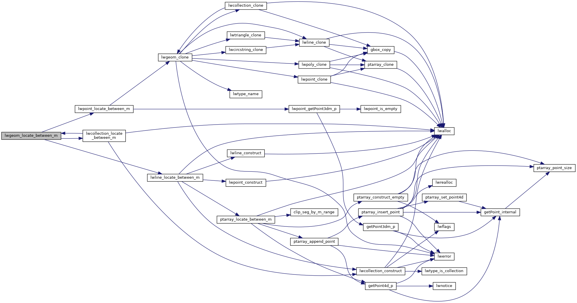
References COLLECTIONTYPE, LINETYPE, lwcollection_locate_between_m(), lwline_locate_between_m(), lwpoint_locate_between_m(), MULTILINETYPE, MULTIPOINTTYPE, MULTIPOLYGONTYPE, POINTTYPE, POLYGONTYPE, and LWGEOM::type.
Referenced by lwcollection_locate_between_m(), and LWGEOM_locate_between_m().
Here is the call graph for this function:
Here is the caller graph for this function: