Loading...
Searching...
No Matches
◆ gserialized1_peek_gbox_p()
| int gserialized1_peek_gbox_p | ( | const GSERIALIZED * | g, |
| GBOX * | gbox | ||
| ) |
Definition at line 298 of file gserialized1.c.
299{
301
302 /* Peeking doesn't help if you already have a box or are geodetic */
304 {
306 }
307
308 /* Boxes of points are easy peasy */
310 {
311 int i = 1; /* Start past <pointtype><padding> */
313
314 /* Read the empty flag */
315 int32_t *iptr = (int32_t *)(g->data);
316 int isempty = (iptr[1] == 0);
317
318 /* EMPTY point has no box */
320
325 {
327 }
329 {
331 }
332 gbox_float_round(gbox);
334 }
335 /* We can calculate the box of a two-point cartesian line trivially */
337 {
339 int i = 0; /* Start at <linetype><npoints> */
341 int32_t *iptr = (int32_t *)(g->data);
342 int npoints = iptr[1]; /* Read the npoints */
343
344 /* This only works with 2-point lines */
345 if ( npoints != 2 )
347
348 /* Advance to X */
349 /* Past <linetype><npoints> */
350 i++;
353
354 /* Advance to Y */
355 i++;
358
361 {
362 /* Advance to Z */
363 i++;
366 }
368 {
369 /* Advance to M */
370 i++;
373 }
374 gbox_float_round(gbox);
376 }
377 /* We can also do single-entry multi-points */
379 {
380 int i = 0; /* Start at <multipointtype><ngeoms> */
382 int32_t *iptr = (int32_t *)(g->data);
383 int ngeoms = iptr[1]; /* Read the ngeoms */
384 int npoints;
385
386 /* This only works with single-entry multipoints */
387 if ( ngeoms != 1 )
389
390 /* Npoints is at <multipointtype><ngeoms><pointtype><npoints> */
391 npoints = iptr[3];
392
393 /* The check below is necessary because we can have a MULTIPOINT
394 * that contains a single, empty POINT (ngeoms = 1, npoints = 0) */
395 if ( npoints != 1 )
397
398 /* Move forward two doubles (four ints) */
399 /* Past <multipointtype><ngeoms> */
400 /* Past <pointtype><npoints> */
401 i += 2;
402
403 /* Read the doubles from the one point */
408 {
410 }
412 {
414 }
415 gbox_float_round(gbox);
417 }
418 /* And we can do single-entry multi-lines with two vertices (!!!) */
420 {
422 int i = 0; /* Start at <multilinetype><ngeoms> */
424 int32_t *iptr = (int32_t *)(g->data);
425 int ngeoms = iptr[1]; /* Read the ngeoms */
426 int npoints;
427
428 /* This only works with 1-line multilines */
429 if ( ngeoms != 1 )
431
432 /* Npoints is at <multilinetype><ngeoms><linetype><npoints> */
433 npoints = iptr[3];
434
435 if ( npoints != 2 )
437
438 /* Advance to X */
439 /* Move forward two doubles (four ints) */
440 /* Past <multilinetype><ngeoms> */
441 /* Past <linetype><npoints> */
442 i += 2;
445
446 /* Advance to Y */
447 i++;
450
453 {
454 /* Advance to Z */
455 i++;
458 }
460 {
461 /* Advance to M */
462 i++;
465 }
466 gbox_float_round(gbox);
468 }
469
471}
lwflags_t gserialized1_get_lwflags(const GSERIALIZED *g)
Read the flags from a GSERIALIZED and return a standard lwflag integer.
Definition gserialized1.c:39
uint32_t gserialized1_get_type(const GSERIALIZED *g)
Extract the geometry type from the serialized form (it hides in the anonymous data area,...
Definition gserialized1.c:131
References GSERIALIZED::data, GBOX::flags, FP_MAX, FP_MIN, G1FLAGS_GET_BBOX, G1FLAGS_GET_GEODETIC, G1FLAGS_GET_M, G1FLAGS_GET_Z, G1FLAGS_NDIMS, gbox_float_round(), GSERIALIZED::gflags, gserialized1_get_lwflags(), gserialized1_get_type(), LINETYPE, LW_FAILURE, LW_SUCCESS, GBOX::mmax, GBOX::mmin, MULTILINETYPE, MULTIPOINTTYPE, POINTTYPE, GBOX::xmax, GBOX::xmin, GBOX::ymax, GBOX::ymin, GBOX::zmax, and GBOX::zmin.
Referenced by gserialized1_fast_gbox_p(), gserialized1_get_gbox_p(), test_gserialized1_peek_gbox_p_fails_for_unsupported_cases(), test_gserialized1_peek_gbox_p_gets_correct_box(), and test_gserialized1_peek_gbox_p_no_box_when_empty().
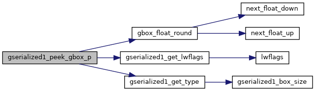
Here is the call graph for this function:
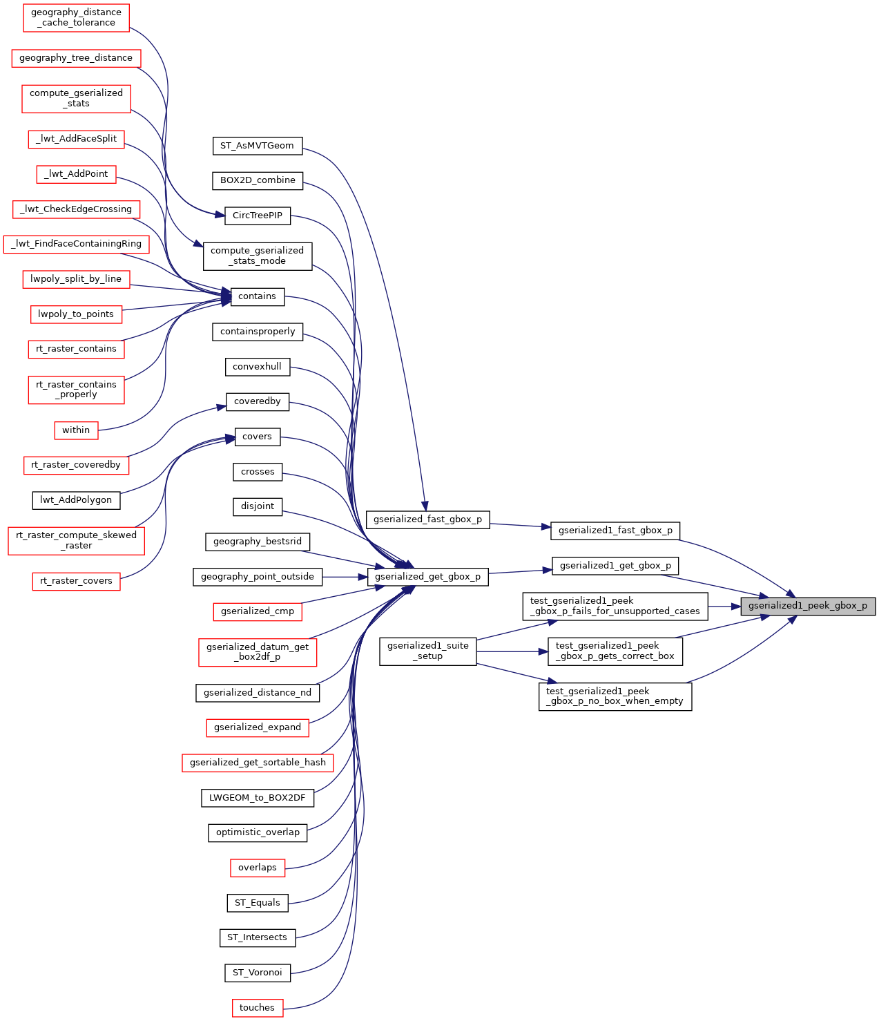
Here is the caller graph for this function: