PostGIS 3.0.6dev-r@@SVN_REVISION@@
Loading...
Searching...
No Matches

◆ ShpLoaderGenerateShapeRow()

int ShpLoaderGenerateShapeRow ( SHPDUMPERSTATE state)

Definition at line 1964 of file pgsql2shp-core.c.

1965{
1966 char *hexewkb = NULL;
1967 unsigned char *hexewkb_binary = NULL;
1968 size_t hexewkb_len;
1969 char *val;
1970 SHPObject *obj = NULL;
1971 LWGEOM *lwgeom;
1972
1973 int i, geocolnum = 0;
1974
1975 /* If we try to go pass the end of the table, fail immediately */
1976 if (state->currow > state->rowcount)
1977 {
1978 snprintf(state->message, SHPDUMPERMSGLEN, _("Tried to read past end of table!"));
1979 PQclear(state->fetchres);
1980 return SHPDUMPERERR;
1981 }
1982
1983 /* If we have reached the end of the current batch, fetch a new one */
1984 if (state->curresrow == state->currescount && state->currow < state->rowcount)
1985 {
1986 /* Clear the previous batch results */
1987 if (state->fetchres)
1988 PQclear(state->fetchres);
1989
1990 state->fetchres = PQexec(state->conn, state->fetch_query);
1991 if (PQresultStatus(state->fetchres) != PGRES_TUPLES_OK)
1992 {
1993 snprintf(state->message, SHPDUMPERMSGLEN, _("Error executing fetch query: %s"), PQresultErrorMessage(state->fetchres));
1994 PQclear(state->fetchres);
1995 return SHPDUMPERERR;
1996 }
1997
1998 state->curresrow = 0;
1999 state->currescount = PQntuples(state->fetchres);
2000 }
2001
2002 /* Grab the id of the geo column if we have one */
2003 if (state->geo_col_name)
2004 geocolnum = PQfnumber(state->fetchres, "_geoX");
2005
2006 /* Process the next record within the batch. First write out all of
2007 the non-geo fields */
2008 for (i = 0; i < state->fieldcount; i++)
2009 {
2010 /*
2011 * Transform NULL numbers to '0'
2012 * This is because the shapelib
2013 * won't easly take care of setting
2014 * nulls unless paying the acquisition
2015 * of a bug in long integer values
2016 */
2017 if (PQgetisnull(state->fetchres, state->curresrow, i))
2018 {
2019 val = nullDBFValue(state->dbffieldtypes[i]);
2020 }
2021 else
2022 {
2023 val = PQgetvalue(state->fetchres, state->curresrow, i);
2024 val = goodDBFValue(val, state->dbffieldtypes[i]);
2025 }
2026
2027 /* Write it to the DBF file */
2028 if (!DBFWriteAttributeDirectly(state->dbf, state->currow, i, val))
2029 {
2030 snprintf(state->message, SHPDUMPERMSGLEN, _("Error: record %d could not be created"), state->currow);
2031 PQclear(state->fetchres);
2032 return SHPDUMPERERR;
2033 }
2034 }
2035
2036 /* Now process the geo field, if present */
2037 if (state->geo_col_name)
2038 {
2039 /* Handle NULL shapes */
2040 if (PQgetisnull(state->fetchres, state->curresrow, geocolnum))
2041 {
2042 obj = SHPCreateSimpleObject(SHPT_NULL, 0, NULL, NULL, NULL);
2043 if (SHPWriteObject(state->shp, -1, obj) == -1)
2044 {
2045 snprintf(state->message, SHPDUMPERMSGLEN, _("Error writing NULL shape for record %d"), state->currow);
2046 PQclear(state->fetchres);
2047 SHPDestroyObject(obj);
2048 return SHPDUMPERERR;
2049 }
2050 SHPDestroyObject(obj);
2051 }
2052 else
2053 {
2054 /* Get the value from the result set */
2055 val = PQgetvalue(state->fetchres, state->curresrow, geocolnum);
2056
2057 if (!state->config->binary)
2058 {
2059 if (state->pgis_major_version > 0)
2060 {
2061 LWDEBUG(4, "PostGIS >= 1.0, non-binary cursor");
2062
2063 /* Input is bytea encoded text field, so it must be unescaped and
2064 then converted to hexewkb string */
2065 hexewkb_binary = PQunescapeBytea((unsigned char *)val, &hexewkb_len);
2066 hexewkb = convert_bytes_to_hex(hexewkb_binary, hexewkb_len);
2067 }
2068 else
2069 {
2070 LWDEBUG(4, "PostGIS < 1.0, non-binary cursor");
2071
2072 /* Input is already hexewkb string, so we can just
2073 copy directly to hexewkb */
2074 hexewkb_len = PQgetlength(state->fetchres, state->curresrow, geocolnum);
2075 hexewkb = malloc(hexewkb_len + 1);
2076 strncpy(hexewkb, val, hexewkb_len + 1);
2077 }
2078 }
2079 else /* binary */
2080 {
2081 LWDEBUG(4, "PostGIS (any version) using binary cursor");
2082
2083 /* Input is binary field - must convert to hexewkb string */
2084 hexewkb_len = PQgetlength(state->fetchres, state->curresrow, geocolnum);
2085 hexewkb = convert_bytes_to_hex((unsigned char *)val, hexewkb_len);
2086 }
2087
2088 LWDEBUGF(4, "HexEWKB - length: %d value: %s", strlen(hexewkb), hexewkb);
2089
2090 /* Deserialize the LWGEOM */
2091 lwgeom = lwgeom_from_hexwkb(hexewkb, LW_PARSER_CHECK_NONE);
2092 if (!lwgeom)
2093 {
2094 snprintf(state->message, SHPDUMPERMSGLEN, _("Error parsing HEXEWKB for record %d"), state->currow);
2095 PQclear(state->fetchres);
2096 free(hexewkb);
2097 return SHPDUMPERERR;
2098 }
2099
2100 /* Call the relevant method depending upon the geometry type */
2101 LWDEBUGF(4, "geomtype: %s\n", lwtype_name(lwgeom->type));
2102
2103 switch (lwgeom->type)
2104 {
2105 case POINTTYPE:
2106 if (lwgeom_is_empty(lwgeom))
2107 {
2108 obj = create_point_empty(state, lwgeom_as_lwpoint(lwgeom));
2109 }
2110 else
2111 {
2112 obj = create_point(state, lwgeom_as_lwpoint(lwgeom));
2113 }
2114 break;
2115
2116 case MULTIPOINTTYPE:
2117 obj = create_multipoint(state, lwgeom_as_lwmpoint(lwgeom));
2118 break;
2119
2120 case POLYGONTYPE:
2121 obj = create_polygon(state, lwgeom_as_lwpoly(lwgeom));
2122 break;
2123
2124 case MULTIPOLYGONTYPE:
2125 obj = create_multipolygon(state, lwgeom_as_lwmpoly(lwgeom));
2126 break;
2127
2128 case LINETYPE:
2129 obj = create_linestring(state, lwgeom_as_lwline(lwgeom));
2130 break;
2131
2132 case MULTILINETYPE:
2133 obj = create_multilinestring(state, lwgeom_as_lwmline(lwgeom));
2134 break;
2135
2136 default:
2137 snprintf(state->message, SHPDUMPERMSGLEN, _("Unknown WKB type (%d) for record %d"), lwgeom->type, state->currow);
2138 PQclear(state->fetchres);
2139 SHPDestroyObject(obj);
2140 return SHPDUMPERERR;
2141 }
2142
2143 /* Free both the original and geometries */
2144 lwgeom_free(lwgeom);
2145
2146 /* Write the shape out to the file */
2147 if (SHPWriteObject(state->shp, -1, obj) == -1)
2148 {
2149 snprintf(state->message, SHPDUMPERMSGLEN, _("Error writing shape %d"), state->currow);
2150 PQclear(state->fetchres);
2151 SHPDestroyObject(obj);
2152 return SHPDUMPERERR;
2153 }
2154
2155 SHPDestroyObject(obj);
2156
2157 /* Free the hexewkb (and temporary bytea unescaped string if used) */
2158 if (hexewkb) free(hexewkb);
2159 if (hexewkb_binary) PQfreemem(hexewkb_binary);
2160 }
2161 }
2162
2163 /* Increment ready for next time */
2164 state->curresrow++;
2165 state->currow++;
2166
2167 return SHPDUMPEROK;
2168}
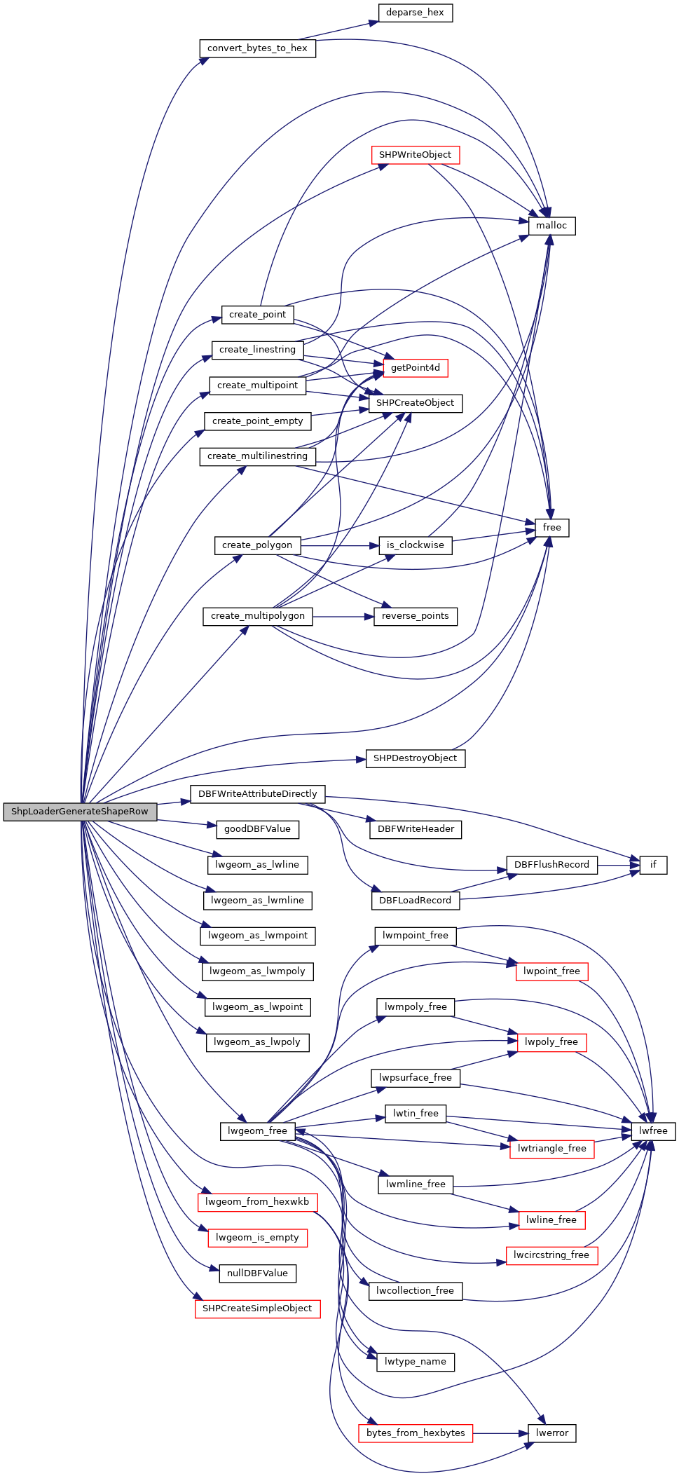
int SHPAPI_CALL DBFWriteAttributeDirectly(DBFHandle psDBF, int hEntity, int iField, void *pValue)
Definition dbfopen.c:1366
const char * lwtype_name(uint8_t type)
Return the type name string associated with a type number (e.g.
Definition lwutil.c:216
void lwgeom_free(LWGEOM *geom)
Definition lwgeom.c:1138
#define LW_PARSER_CHECK_NONE
Definition liblwgeom.h:2060
#define MULTILINETYPE
Definition liblwgeom.h:120
#define LINETYPE
Definition liblwgeom.h:117
#define MULTIPOINTTYPE
Definition liblwgeom.h:119
#define POINTTYPE
LWTYPE numbers, used internally by PostGIS.
Definition liblwgeom.h:116
LWPOLY * lwgeom_as_lwpoly(const LWGEOM *lwgeom)
Definition lwgeom.c:197
#define MULTIPOLYGONTYPE
Definition liblwgeom.h:121
#define POLYGONTYPE
Definition liblwgeom.h:118
LWMLINE * lwgeom_as_lwmline(const LWGEOM *lwgeom)
Definition lwgeom.c:233
LWMPOLY * lwgeom_as_lwmpoly(const LWGEOM *lwgeom)
Definition lwgeom.c:242
LWGEOM * lwgeom_from_hexwkb(const char *hexwkb, const char check)
Definition lwin_wkb.c:857
LWLINE * lwgeom_as_lwline(const LWGEOM *lwgeom)
Definition lwgeom.c:161
LWMPOINT * lwgeom_as_lwmpoint(const LWGEOM *lwgeom)
Definition lwgeom.c:224
#define LWDEBUG(level, msg)
Definition lwgeom_log.h:83
#define LWDEBUGF(level, msg,...)
Definition lwgeom_log.h:88
void * malloc(YYSIZE_T)
void free(void *)
static LWPOINT * lwgeom_as_lwpoint(const LWGEOM *lwgeom)
Definition lwinline.h:121
static int lwgeom_is_empty(const LWGEOM *geom)
Return true or false depending on whether a geometry is an "empty" geometry (no vertices members)
Definition lwinline.h:193
static SHPObject * create_polygon(SHPDUMPERSTATE *state, LWPOLY *lwpolygon)
static SHPObject * create_multipolygon(SHPDUMPERSTATE *state, LWMPOLY *lwmultipolygon)
char * convert_bytes_to_hex(uint8_t *ewkb, size_t size)
Binary to hexewkb conversion function.
static SHPObject * create_linestring(SHPDUMPERSTATE *state, LWLINE *lwlinestring)
static SHPObject * create_point_empty(SHPDUMPERSTATE *state, LWPOINT *lwpoint)
static char * goodDBFValue(char *in, char fieldType)
Make appropriate formatting of a DBF value based on type.
static SHPObject * create_point(SHPDUMPERSTATE *state, LWPOINT *lwpoint)
static char * nullDBFValue(char fieldType)
static SHPObject * create_multipoint(SHPDUMPERSTATE *state, LWMPOINT *lwmultipoint)
static SHPObject * create_multilinestring(SHPDUMPERSTATE *state, LWMLINE *lwmultilinestring)
#define SHPDUMPERMSGLEN
#define SHPDUMPEROK
#define SHPDUMPERERR
#define SHPT_NULL
Definition shapefil.h:306
void SHPAPI_CALL SHPDestroyObject(SHPObject *psObject)
Definition shpopen.c:2182
#define _(String)
Definition shpcommon.h:24
SHPObject SHPAPI_CALL1 * SHPCreateSimpleObject(int nSHPType, int nVertices, const double *padfX, const double *padfY, const double *padfZ){ return(SHPCreateObject(nSHPType, -1, 0, NULL, NULL, nVertices, padfX, padfY, padfZ, NULL)
int SHPAPI_CALL SHPWriteObject(SHPHandle psSHP, int nShapeId, SHPObject *psObject)
Definition shpopen.c:1170
uint8_t type
Definition liblwgeom.h:448
SHPDUMPERCONFIG * config
char message[SHPDUMPERMSGLEN]

References _, shp_dumper_config::binary, shp_dumper_state::config, shp_dumper_state::conn, convert_bytes_to_hex(), create_linestring(), create_multilinestring(), create_multipoint(), create_multipolygon(), create_point(), create_point_empty(), create_polygon(), shp_dumper_state::currescount, shp_dumper_state::curresrow, shp_dumper_state::currow, shp_dumper_state::dbf, shp_dumper_state::dbffieldtypes, DBFWriteAttributeDirectly(), shp_dumper_state::fetch_query, shp_dumper_state::fetchres, shp_dumper_state::fieldcount, free(), shp_dumper_state::geo_col_name, goodDBFValue(), LINETYPE, LW_PARSER_CHECK_NONE, LWDEBUG, LWDEBUGF, lwgeom_as_lwline(), lwgeom_as_lwmline(), lwgeom_as_lwmpoint(), lwgeom_as_lwmpoly(), lwgeom_as_lwpoint(), lwgeom_as_lwpoly(), lwgeom_free(), lwgeom_from_hexwkb(), lwgeom_is_empty(), lwtype_name(), malloc(), shp_dumper_state::message, MULTILINETYPE, MULTIPOINTTYPE, MULTIPOLYGONTYPE, nullDBFValue(), shp_dumper_state::pgis_major_version, POINTTYPE, POLYGONTYPE, shp_dumper_state::rowcount, shp_dumper_state::shp, SHPCreateSimpleObject(), SHPDestroyObject(), SHPDUMPERERR, SHPDUMPERMSGLEN, SHPDUMPEROK, SHPT_NULL, SHPWriteObject(), and LWGEOM::type.

Referenced by main(), and pgui_action_export().

Here is the call graph for this function:
Here is the caller graph for this function: