Loading...
Searching...
No Matches
◆ geography_distance_cache_tolerance()
|
static |
Definition at line 157 of file geography_measurement_trees.c.
163{
164 CircTreeGeomCache* tree_cache = NULL;
165
168
169 Assert(distance);
170
171 /* Two points? Get outa here... */
174
175 /* Fetch/build our cache, if appropriate, etc... */
176 tree_cache = GetCircTreeGeomCache(fcinfo, g1, g2);
177
178 /* OK, we have an index at the ready! Use it for the one tree argument and */
179 /* fill in the other tree argument */
181 {
183 CIRC_NODE* circtree = NULL;
186 LWGEOM* lwgeom = NULL;
187 int geomtype_cached;
188 int geomtype;
189 POINT4D p4d;
190
191 /* We need to dynamically build a tree for the uncached side of the function call */
193 {
194 g_cached = g1;
195 g = g2;
196 geomtype_cached = type1;
197 geomtype = type2;
198 }
200 {
201 g_cached = g2;
202 g = g1;
203 geomtype_cached = type2;
204 geomtype = type1;
205 }
206 else
207 {
208 lwpgerror("geography_distance_cache this cannot happen!");
210 }
211
212 lwgeom = lwgeom_from_gserialized(g);
214 {
215 lwgeom_startpoint(lwgeom, &p4d);
217 {
218 *distance = 0.0;
219 lwgeom_free(lwgeom);
221 }
222 }
223
224 circtree = lwgeom_calculate_circ_tree(lwgeom);
226 {
227 POINT2D p2d;
228 circ_tree_get_point(circtree_cached, &p2d);
232 {
233 *distance = 0.0;
234 circ_tree_free(circtree);
235 lwgeom_free(lwgeom);
237 }
238 }
239
241 circ_tree_free(circtree);
242 lwgeom_free(lwgeom);
244 }
245 else
246 {
248 }
249}
static int CircTreePIP(const CIRC_NODE *tree1, const GSERIALIZED *g1, const POINT4D *in_point)
Definition geography_measurement_trees.c:99
static CircTreeGeomCache * GetCircTreeGeomCache(FunctionCallInfo fcinfo, const GSERIALIZED *g1, const GSERIALIZED *g2)
Definition geography_measurement_trees.c:93
LWGEOM * lwgeom_from_gserialized(const GSERIALIZED *g)
Allocate a new LWGEOM from a GSERIALIZED.
Definition gserialized.c:239
uint32_t gserialized_get_type(const GSERIALIZED *g)
Extract the geometry type from the serialized form (it hides in the anonymous data area,...
Definition gserialized.c:89
double circ_tree_distance_tree(const CIRC_NODE *n1, const CIRC_NODE *n2, const SPHEROID *spheroid, double threshold)
Definition lwgeodetic_tree.c:609
CIRC_NODE * lwgeom_calculate_circ_tree(const LWGEOM *lwgeom)
Definition lwgeodetic_tree.c:1005
int circ_tree_get_point(const CIRC_NODE *node, POINT2D *pt)
Returns a POINT2D that is a vertex of the input shape.
Definition lwgeodetic_tree.c:461
void circ_tree_free(CIRC_NODE *node)
Recurse from top of node tree and free all children.
Definition lwgeodetic_tree.c:50
Definition liblwgeom.h:429
Definition liblwgeom.h:443
Definition liblwgeom.h:375
Definition liblwgeom.h:399
Note that p1 and p2 are pointers into an independent POINTARRAY, do not free them.
Definition lwgeodetic_tree.h:37
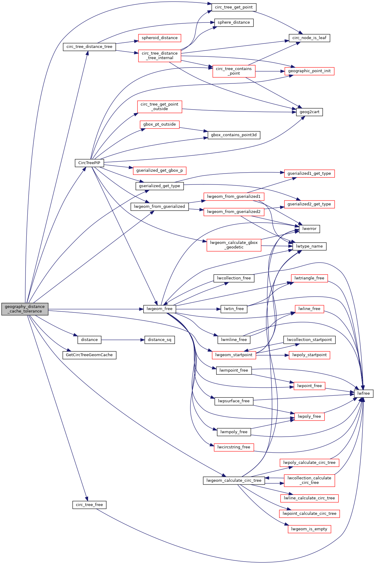
References circ_tree_distance_tree(), circ_tree_free(), circ_tree_get_point(), CircTreePIP(), distance(), CircTreeGeomCache::gcache, GetCircTreeGeomCache(), gserialized_get_type(), CircTreeGeomCache::index, LW_FAILURE, LW_SUCCESS, lwgeom_calculate_circ_tree(), lwgeom_free(), lwgeom_from_gserialized(), lwgeom_startpoint(), MULTIPOLYGONTYPE, POINTTYPE, POLYGONTYPE, s, POINT2D::x, POINT4D::x, POINT2D::y, and POINT4D::y.
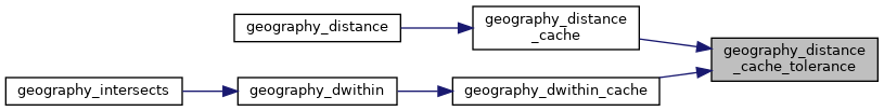
Referenced by geography_distance_cache(), and geography_dwithin_cache().
Here is the call graph for this function:
Here is the caller graph for this function: