Loading...
Searching...
No Matches
◆ LWGEOM_makeline_garray()
| Datum LWGEOM_makeline_garray | ( | PG_FUNCTION_ARGS | ) |
Definition at line 1390 of file lwgeom_functions_basic.c.
1391{
1392 ArrayType *array;
1393 int nelems;
1394 GSERIALIZED *result = NULL;
1395 LWGEOM **geoms;
1396 LWGEOM *outlwg;
1397 uint32 ngeoms;
1398 int32_t srid = SRID_UNKNOWN;
1399
1400 ArrayIterator iterator;
1401 Datum value;
1402 bool isnull;
1403
1404 POSTGIS_DEBUGF(2, "%s called", __func__);
1405
1406 /* Return null on null input */
1407 if (PG_ARGISNULL(0))
1408 PG_RETURN_NULL();
1409
1410 /* Get actual ArrayType */
1411 array = PG_GETARG_ARRAYTYPE_P(0);
1412
1413 /* Get number of geometries in array */
1414 nelems = ArrayGetNItems(ARR_NDIM(array), ARR_DIMS(array));
1415
1416 POSTGIS_DEBUGF(3, "%s: array has %d elements", __func__, nelems);
1417
1418 /* Return null on 0-elements input array */
1419 if (nelems == 0)
1420 PG_RETURN_NULL();
1421
1422 /*
1423 * Deserialize all point geometries in array into the
1424 * geoms pointers array.
1425 * Count actual number of points.
1426 */
1427
1428 /* possibly more then required */
1430 ngeoms = 0;
1431
1432 iterator = array_create_iterator(array, 0, NULL);
1433
1434 while (array_iterate(iterator, &value, &isnull))
1435 {
1436 GSERIALIZED *geom;
1437
1438 if (isnull)
1439 continue;
1440
1441 geom = (GSERIALIZED *)DatumGetPointer(value);
1442
1445 {
1446 continue;
1447 }
1448
1449 geoms[ngeoms++] = lwgeom_from_gserialized(geom);
1450
1451 /* Check SRID homogeneity */
1452 if (ngeoms == 1)
1453 {
1454 /* Get first geometry SRID */
1455 srid = geoms[ngeoms - 1]->srid;
1456 /* TODO: also get ZMflags */
1457 }
1458 else
1459 gserialized_error_if_srid_mismatch_reference(geom, srid, __func__);
1460
1461 POSTGIS_DEBUGF(3, "%s: element %d deserialized", __func__, ngeoms);
1462 }
1463 array_free_iterator(iterator);
1464
1465 /* Return null on 0-points input array */
1466 if (ngeoms == 0)
1467 {
1468 /* TODO: should we return LINESTRING EMPTY here ? */
1469 elog(NOTICE, "No points or linestrings in input array");
1470 PG_RETURN_NULL();
1471 }
1472
1473 POSTGIS_DEBUGF(3, "LWGEOM_makeline_garray: elements: %d", ngeoms);
1474
1476
1477 result = geometry_serialize(outlwg);
1478
1479 PG_RETURN_POINTER(result);
1480}
void gserialized_error_if_srid_mismatch_reference(const GSERIALIZED *g1, const int32_t srid2, const char *funcname)
Definition gserialized.c:419
LWGEOM * lwgeom_from_gserialized(const GSERIALIZED *g)
Allocate a new LWGEOM from a GSERIALIZED.
Definition gserialized.c:239
uint32_t gserialized_get_type(const GSERIALIZED *g)
Extract the geometry type from the serialized form (it hides in the anonymous data area,...
Definition gserialized.c:89
LWLINE * lwline_from_lwgeom_array(int32_t srid, uint32_t ngeoms, LWGEOM **geoms)
Definition lwline.c:151
GSERIALIZED * geometry_serialize(LWGEOM *lwgeom)
Definition liblwgeom.h:429
Definition liblwgeom.h:443
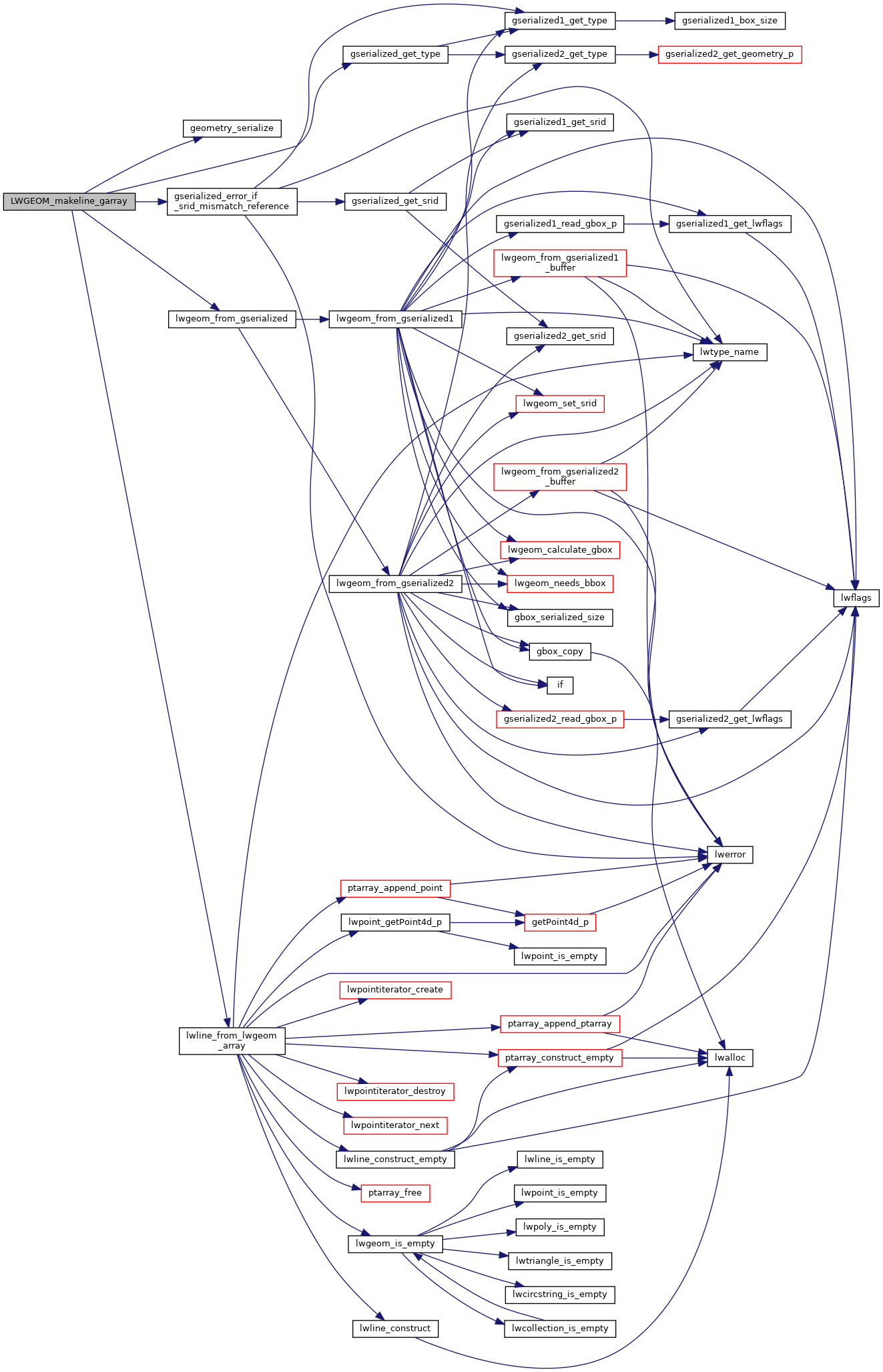
References geometry_serialize(), gserialized_error_if_srid_mismatch_reference(), gserialized_get_type(), LINETYPE, lwgeom_from_gserialized(), lwline_from_lwgeom_array(), MULTIPOINTTYPE, POINTTYPE, LWGEOM::srid, and SRID_UNKNOWN.
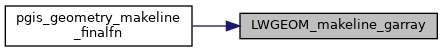
Referenced by pgis_geometry_makeline_finalfn().
Here is the call graph for this function:
Here is the caller graph for this function: