Loading...
Searching...
No Matches
◆ lwgeom_scale()
Definition at line 2029 of file lwgeom.c.
2030{
2032 uint32_t i;
2033
2034 switch(type)
2035 {
2036 /* Take advantage of fact tht pt/ln/circ/tri have same memory structure */
2041 {
2044 break;
2045 }
2047 {
2051 break;
2052 }
2054 {
2058 break;
2059 }
2060 default:
2061 {
2063 {
2066 {
2068 }
2069 }
2070 else
2071 {
2073 }
2074 }
2075 }
2076
2077 /* Recompute bbox if needed */
2079 lwgeom_refresh_bbox(geom);
2080}
const char * lwtype_name(uint8_t type)
Return the type name string associated with a type number (e.g.
Definition lwutil.c:216
void ptarray_scale(POINTARRAY *pa, const POINT4D *factor)
WARNING, make sure you send in only 16-member double arrays or obviously things will go pear-shaped f...
Definition ptarray.c:1953
void lwgeom_refresh_bbox(LWGEOM *lwgeom)
Drop current bbox and calculate a fresh one.
Definition lwgeom.c:689
int lwgeom_is_collection(const LWGEOM *geom)
Determine whether a LWGEOM can contain sub-geometries or not.
Definition lwgeom.c:1079
Definition liblwgeom.h:559
Definition liblwgeom.h:587
Definition liblwgeom.h:467
Definition liblwgeom.h:503
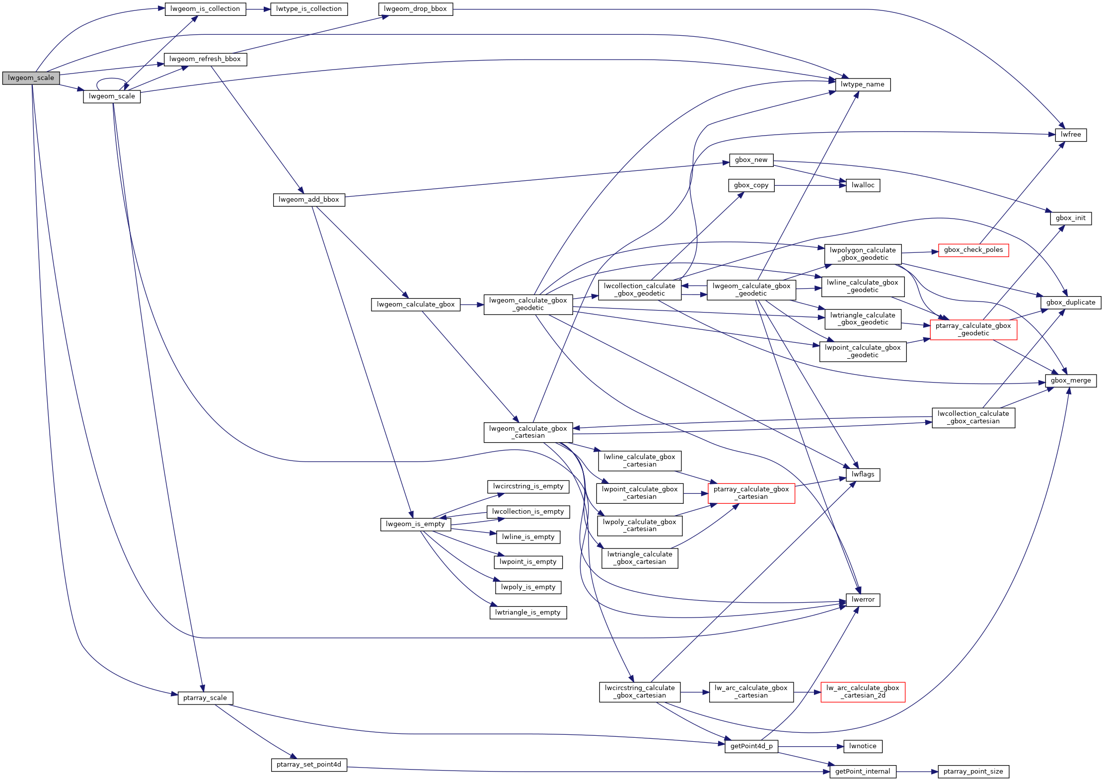
References LWGEOM::bbox, CIRCSTRINGTYPE, CURVEPOLYTYPE, LWCOLLECTION::geoms, LINETYPE, lwerror(), lwgeom_is_collection(), lwgeom_refresh_bbox(), lwgeom_scale(), lwtype_name(), LWCOLLECTION::ngeoms, LWPOLY::nrings, LWCURVEPOLY::nrings, LWLINE::points, POINTTYPE, POLYGONTYPE, ptarray_scale(), LWPOLY::rings, LWCURVEPOLY::rings, TRIANGLETYPE, and LWGEOM::type.
Referenced by lwgeom_scale(), ST_Scale(), and test_lwgeom_scale().
Here is the call graph for this function:
Here is the caller graph for this function: