Loading...
Searching...
No Matches
◆ LWGEOM_asGML()
| Datum LWGEOM_asGML | ( | PG_FUNCTION_ARGS | ) |
Definition at line 209 of file lwgeom_export.c.
210{
211 GSERIALIZED *geom;
212 LWGEOM *lwgeom;
213 char *gml = NULL;
214 text *result;
215 int version;
216 char *srs;
217 int32_t srid;
218 int option = 0;
221 static const char* default_prefix = "gml:"; /* default prefix */
222 const char* prefix = default_prefix;
223 const char* gml_id = NULL;
224 size_t len;
225 char *gml_id_buf, *prefix_buf;
226 text *prefix_text, *gml_id_text;
227
228
229 /* Get the version */
230 version = PG_GETARG_INT32(0);
231 if ( version != 2 && version != 3 )
232 {
233 elog(ERROR, "Only GML 2 and GML 3 are supported");
234 PG_RETURN_NULL();
235 }
236
237 /* Get the geometry */
238 if ( PG_ARGISNULL(1) ) PG_RETURN_NULL();
239 geom = PG_GETARG_GSERIALIZED_P(1);
240
241 /* Retrieve precision if any (default is max) */
242 if (PG_NARGS() > 2 && !PG_ARGISNULL(2))
243 {
244 precision = PG_GETARG_INT32(2);
245 /* TODO: leave this to liblwgeom ? */
247 precision = DBL_DIG;
249 precision = 0;
250 }
251
252 /* retrieve option */
253 if (PG_NARGS() > 3 && !PG_ARGISNULL(3)) option = PG_GETARG_INT32(3);
254
255 /* retrieve prefix */
256 if (PG_NARGS() >4 && !PG_ARGISNULL(4))
257 {
258 prefix_text = PG_GETARG_TEXT_P(4);
259 if ( VARSIZE(prefix_text) == VARHDRSZ )
260 {
261 prefix = "";
262 }
263 else
264 {
265 len = VARSIZE_ANY_EXHDR(prefix_text);
266 prefix_buf = palloc(len + 2); /* +2 is one for the ':' and one for term null */
267 memcpy(prefix_buf, VARDATA(prefix_text), len);
268 /* add colon and null terminate */
269 prefix_buf[len] = ':';
270 prefix_buf[len+1] = '\0';
271 prefix = prefix_buf;
272 }
273 }
274
275 if (PG_NARGS() >5 && !PG_ARGISNULL(5))
276 {
277 gml_id_text = PG_GETARG_TEXT_P(5);
278 if ( VARSIZE(gml_id_text) == VARHDRSZ )
279 {
280 gml_id = "";
281 }
282 else
283 {
284 len = VARSIZE_ANY_EXHDR(gml_id_text);
285 gml_id_buf = palloc(len+1);
286 memcpy(gml_id_buf, VARDATA(gml_id_text), len);
287 gml_id_buf[len] = '\0';
288 gml_id = gml_id_buf;
289 }
290 }
291
292 srid = gserialized_get_srid(geom);
294 else if (option & 1)
296 else
298
299 if (option & 2) lwopts &= ~LW_GML_IS_DIMS;
301 if (option & 8)
302 {
303 elog(ERROR,
304 "Options %d passed to ST_AsGML(geography) sets "
305 "unsupported value 8",
306 option);
307 PG_RETURN_NULL();
308 }
311
312 lwgeom = lwgeom_from_gserialized(geom);
313
314 if (version == 2)
315 {
317 gml = lwgeom_extent_to_gml2(
318 lwgeom, srs, precision, prefix);
319 else
321 }
322 if (version == 3)
323 {
325 gml = lwgeom_extent_to_gml3(
326 lwgeom, srs, precision, lwopts, prefix);
327 else
328 gml = lwgeom_to_gml3(
329 lwgeom, srs, precision, lwopts, prefix, gml_id);
330 }
331
332 lwgeom_free(lwgeom);
333 PG_FREE_IF_COPY(geom, 1);
334
335 /* Return null on null */
336 if ( ! gml )
337 PG_RETURN_NULL();
338
339 result = cstring_to_text(gml);
340 lwfree(gml);
341 PG_RETURN_TEXT_P(result);
342}
int32_t gserialized_get_srid(const GSERIALIZED *g)
Extract the SRID from the serialized form (it is packed into three bytes so this is a handy function)...
Definition gserialized.c:126
LWGEOM * lwgeom_from_gserialized(const GSERIALIZED *g)
Allocate a new LWGEOM from a GSERIALIZED.
Definition gserialized.c:239
char * lwgeom_to_gml2(const LWGEOM *geom, const char *srs, int precision, const char *prefix)
VERSION GML 2 takes a GEOMETRY and returns a GML2 representation.
Definition lwout_gml.c:231
#define LW_GML_SHORTLINE
For GML3, use <LineString> rather than <Curve> for lines.
Definition liblwgeom.h:1652
char * lwgeom_extent_to_gml2(const LWGEOM *geom, const char *srs, int precision, const char *prefix)
Definition lwout_gml.c:198
char * lwgeom_to_gml3(const LWGEOM *geom, const char *srs, int precision, int opts, const char *prefix, const char *id)
Definition lwout_gml.c:716
char * lwgeom_extent_to_gml3(const LWGEOM *geom, const char *srs, int precision, int opts, const char *prefix)
Definition lwout_gml.c:213
char * getSRSbySRID(FunctionCallInfo fcinfo, int32_t srid, bool short_crs)
Definition lwgeom_export.c:66
Definition liblwgeom.h:429
Definition liblwgeom.h:443
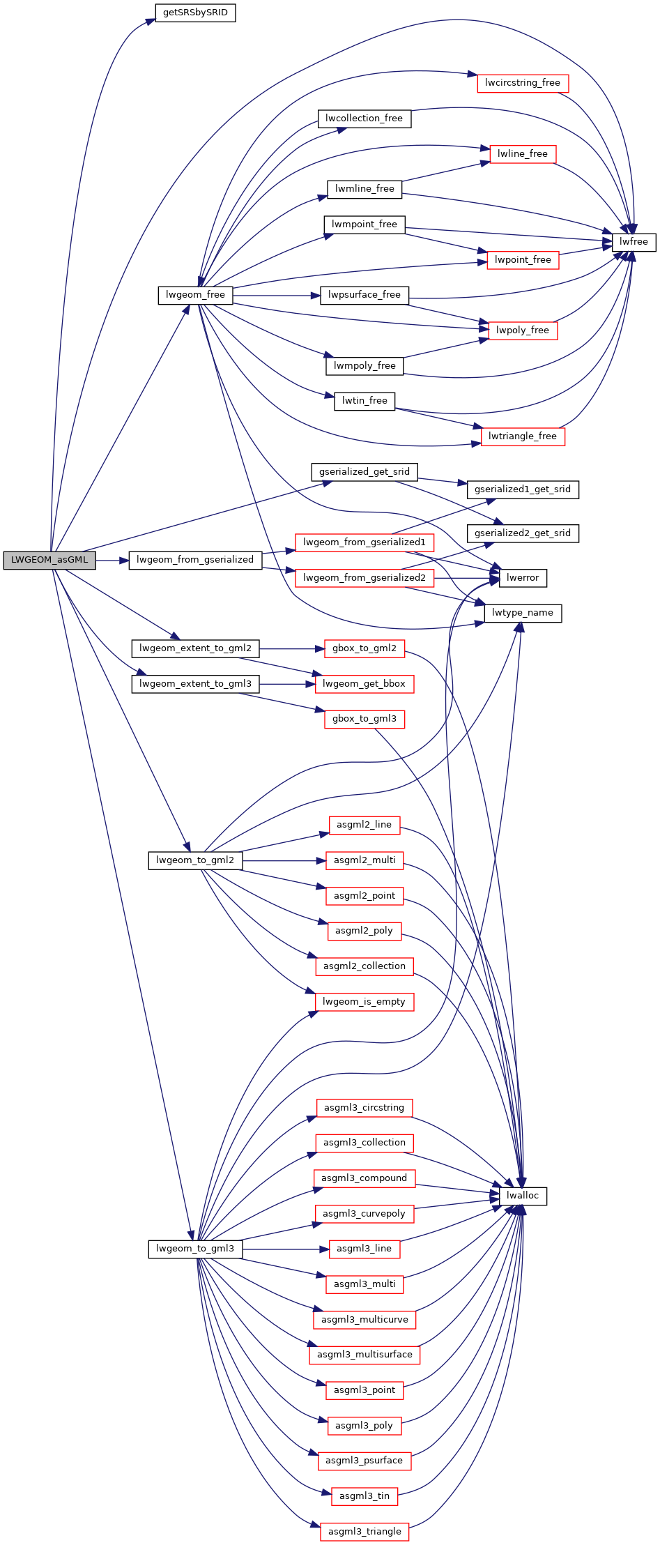
References getSRSbySRID(), gserialized_get_srid(), LW_GML_EXTENT, LW_GML_IS_DEGREE, LW_GML_IS_DIMS, LW_GML_SHORTLINE, lwfree(), lwgeom_extent_to_gml2(), lwgeom_extent_to_gml3(), lwgeom_free(), lwgeom_from_gserialized(), lwgeom_to_gml2(), lwgeom_to_gml3(), precision, and SRID_UNKNOWN.
Here is the call graph for this function: