Loading...
Searching...
No Matches
◆ ptarray_arc_length_2d()
| double ptarray_arc_length_2d | ( | const POINTARRAY * | pts | ) |
Find the 2d length of the given POINTARRAY, using circular arc interpolation between each coordinate triple.
Length(A1, A2, A3, A4, A5) = Length(A1, A2, A3)+Length(A3, A4, A5)
Definition at line 1681 of file ptarray.c.
1682{
1683 double dist = 0.0;
1684 uint32_t i;
1688
1691
1692 a1 = getPoint2d_cp(pts, 0);
1693
1695 {
1696 a2 = getPoint2d_cp(pts, i-1);
1697 a3 = getPoint2d_cp(pts, i);
1698 dist += lw_arc_length(a1, a2, a3);
1699 a1 = a3;
1700 }
1701 return dist;
1702}
double lw_arc_length(const POINT2D *A1, const POINT2D *A2, const POINT2D *A3)
Returns the length of a circular arc segment.
Definition lwalgorithm.c:119
static const POINT2D * getPoint2d_cp(const POINTARRAY *pa, uint32_t n)
Returns a POINT2D pointer into the POINTARRAY serialized_ptlist, suitable for reading from.
Definition lwinline.h:91
Definition liblwgeom.h:375
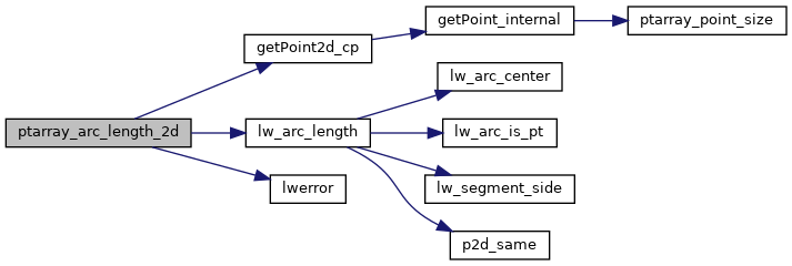
References getPoint2d_cp(), lw_arc_length(), lwerror(), and POINTARRAY::npoints.
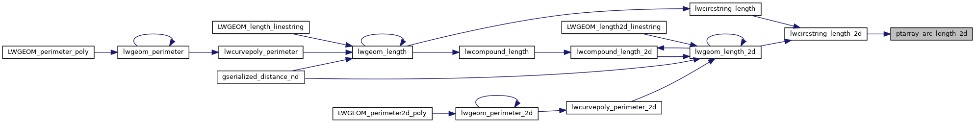
Referenced by lwcircstring_length_2d().
Here is the call graph for this function:
Here is the caller graph for this function: