Loading...
Searching...
No Matches
◆ pointArray_to_geojson()
|
static |
Definition at line 723 of file lwout_geojson.c.
724{
725 uint32_t i;
726 char *ptr;
730
732 ptr = output;
733
734 /* TODO: rewrite this loop to be simpler and possibly quicker */
736 {
738 {
740 pt = getPoint2d_cp(pa, i);
741
742 lwprint_double(
744 lwprint_double(
746
747 if ( i ) ptr += sprintf(ptr, ",");
748 ptr += sprintf(ptr, "[%s,%s]", x, y);
749 }
750 }
751 else
752 {
754 {
756
757 lwprint_double(
759 lwprint_double(
761 lwprint_double(
763
764 if ( i ) ptr += sprintf(ptr, ",");
765 ptr += sprintf(ptr, "[%s,%s,%s]", x, y, z);
766 }
767 }
768
769 return (ptr-output);
770}
int lwprint_double(double d, int maxdd, char *buf, size_t bufsize)
Definition lwprint.c:492
static const POINT3D * getPoint3d_cp(const POINTARRAY *pa, uint32_t n)
Returns a POINT2D pointer into the POINTARRAY serialized_ptlist, suitable for reading from.
Definition lwinline.h:103
static const POINT2D * getPoint2d_cp(const POINTARRAY *pa, uint32_t n)
Returns a POINT2D pointer into the POINTARRAY serialized_ptlist, suitable for reading from.
Definition lwinline.h:91
Definition liblwgeom.h:375
Definition liblwgeom.h:387
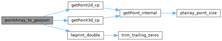
References POINTARRAY::flags, FLAGS_GET_Z, getPoint2d_cp(), getPoint3d_cp(), lwprint_double(), POINTARRAY::npoints, OUT_DOUBLE_BUFFER_SIZE, OUT_MAX_DOUBLE_PRECISION, precision, POINT2D::x, POINT3D::x, POINT2D::y, POINT3D::y, and POINT3D::z.
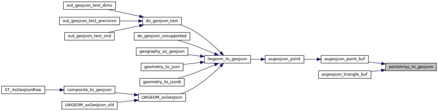
Referenced by asgeojson_line_buf(), asgeojson_multiline_buf(), asgeojson_multipoint_buf(), asgeojson_multipolygon_buf(), asgeojson_point_buf(), asgeojson_poly_buf(), and asgeojson_triangle_buf().
Here is the call graph for this function:
Here is the caller graph for this function: