PostGIS 3.0.6dev-r@@SVN_REVISION@@
Loading...
Searching...
No Matches

◆ gserialized2_from_lwgeom_any()

static size_t gserialized2_from_lwgeom_any ( const LWGEOM geom,
uint8_t *  buf 
)
static

Definition at line 1072 of file gserialized2.c.

1073{
1074 assert(geom);
1075 assert(buf);
1076
1077 LWDEBUGF(2, "Input type (%d) %s, hasz: %d hasm: %d",
1078 geom->type, lwtype_name(geom->type),
1079 FLAGS_GET_Z(geom->flags), FLAGS_GET_M(geom->flags));
1080 LWDEBUGF(2, "LWGEOM(%p) uint8_t(%p)", geom, buf);
1081
1082 switch (geom->type)
1083 {
1084 case POINTTYPE:
1085 return gserialized2_from_lwpoint((LWPOINT *)geom, buf);
1086 case LINETYPE:
1087 return gserialized2_from_lwline((LWLINE *)geom, buf);
1088 case POLYGONTYPE:
1089 return gserialized2_from_lwpoly((LWPOLY *)geom, buf);
1090 case TRIANGLETYPE:
1091 return gserialized2_from_lwtriangle((LWTRIANGLE *)geom, buf);
1092 case CIRCSTRINGTYPE:
1093 return gserialized2_from_lwcircstring((LWCIRCSTRING *)geom, buf);
1094 case CURVEPOLYTYPE:
1095 case COMPOUNDTYPE:
1096 case MULTIPOINTTYPE:
1097 case MULTILINETYPE:
1098 case MULTICURVETYPE:
1099 case MULTIPOLYGONTYPE:
1100 case MULTISURFACETYPE:
1102 case TINTYPE:
1103 case COLLECTIONTYPE:
1104 return gserialized2_from_lwcollection((LWCOLLECTION *)geom, buf);
1105 default:
1106 lwerror("Unknown geometry type: %d - %s", geom->type, lwtype_name(geom->type));
1107 return 0;
1108 }
1109 return 0;
1110}
static size_t gserialized2_from_lwcollection(const LWCOLLECTION *coll, uint8_t *buf)
static size_t gserialized2_from_lwcircstring(const LWCIRCSTRING *curve, uint8_t *buf)
static size_t gserialized2_from_lwpoly(const LWPOLY *poly, uint8_t *buf)
static size_t gserialized2_from_lwtriangle(const LWTRIANGLE *triangle, uint8_t *buf)
static size_t gserialized2_from_lwline(const LWLINE *line, uint8_t *buf)
static size_t gserialized2_from_lwpoint(const LWPOINT *point, uint8_t *buf)
const char * lwtype_name(uint8_t type)
Return the type name string associated with a type number (e.g.
Definition lwutil.c:216
#define COLLECTIONTYPE
Definition liblwgeom.h:122
#define COMPOUNDTYPE
Definition liblwgeom.h:124
#define CURVEPOLYTYPE
Definition liblwgeom.h:125
#define MULTILINETYPE
Definition liblwgeom.h:120
#define MULTISURFACETYPE
Definition liblwgeom.h:127
#define LINETYPE
Definition liblwgeom.h:117
#define MULTIPOINTTYPE
Definition liblwgeom.h:119
#define POINTTYPE
LWTYPE numbers, used internally by PostGIS.
Definition liblwgeom.h:116
#define FLAGS_GET_Z(flags)
Definition liblwgeom.h:179
#define TINTYPE
Definition liblwgeom.h:130
#define MULTIPOLYGONTYPE
Definition liblwgeom.h:121
#define POLYGONTYPE
Definition liblwgeom.h:118
#define POLYHEDRALSURFACETYPE
Definition liblwgeom.h:128
#define CIRCSTRINGTYPE
Definition liblwgeom.h:123
#define FLAGS_GET_M(flags)
Definition liblwgeom.h:180
#define MULTICURVETYPE
Definition liblwgeom.h:126
#define TRIANGLETYPE
Definition liblwgeom.h:129
#define LWDEBUGF(level, msg,...)
Definition lwgeom_log.h:88
void lwerror(const char *fmt,...)
Write a notice out to the error handler.
Definition lwutil.c:190
uint8_t type
Definition liblwgeom.h:448
lwflags_t flags
Definition liblwgeom.h:447

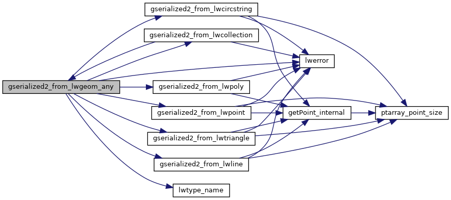
References CIRCSTRINGTYPE, COLLECTIONTYPE, COMPOUNDTYPE, CURVEPOLYTYPE, LWGEOM::flags, FLAGS_GET_M, FLAGS_GET_Z, gserialized2_from_lwcircstring(), gserialized2_from_lwcollection(), gserialized2_from_lwline(), gserialized2_from_lwpoint(), gserialized2_from_lwpoly(), gserialized2_from_lwtriangle(), LINETYPE, LWDEBUGF, lwerror(), lwtype_name(), MULTICURVETYPE, MULTILINETYPE, MULTIPOINTTYPE, MULTIPOLYGONTYPE, MULTISURFACETYPE, POINTTYPE, POLYGONTYPE, POLYHEDRALSURFACETYPE, TINTYPE, TRIANGLETYPE, LWGEOM::type, and LWPOINT::type.

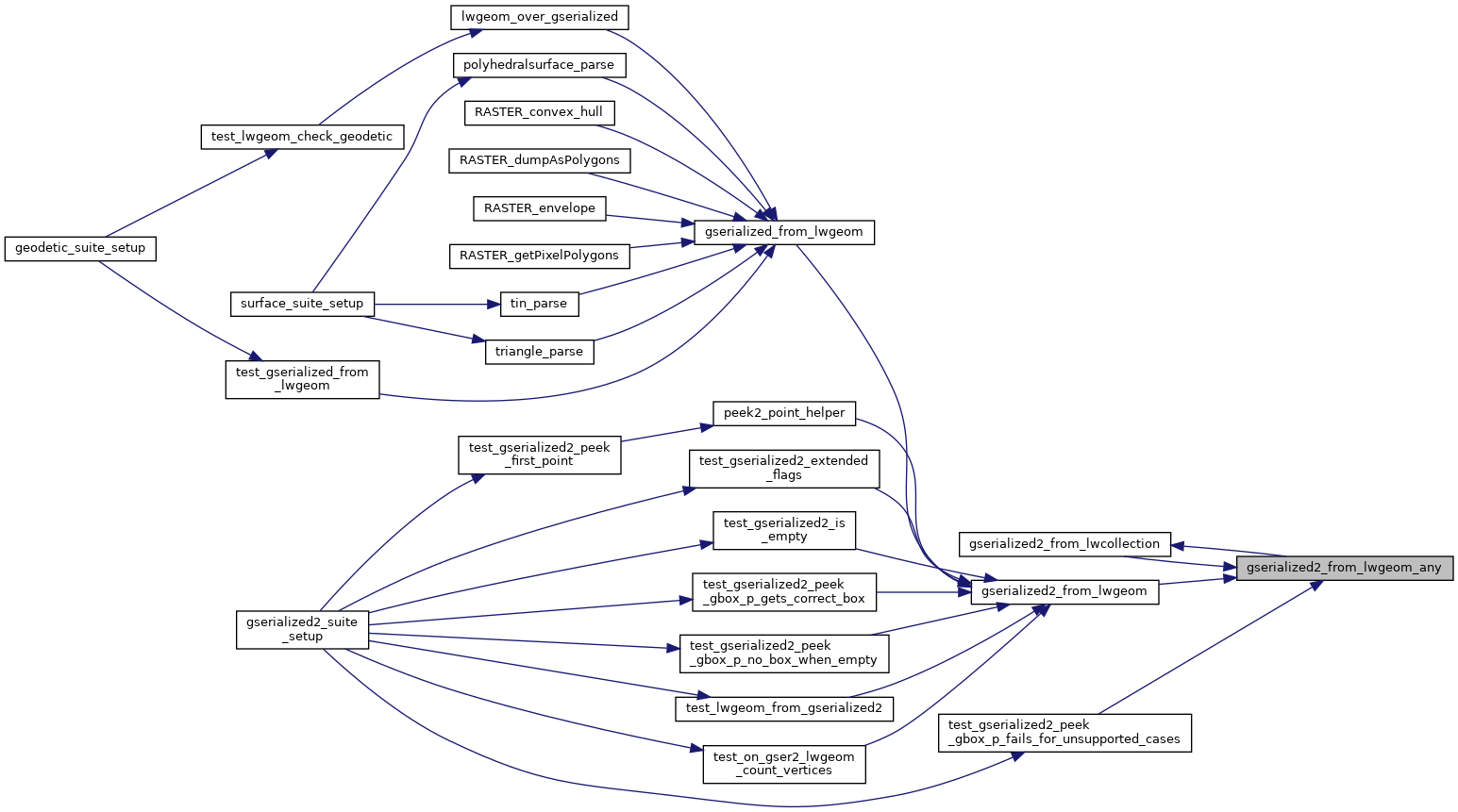
Referenced by gserialized2_from_lwcollection(), gserialized2_from_lwgeom(), and test_gserialized2_peek_gbox_p_fails_for_unsupported_cases().

Here is the call graph for this function:
Here is the caller graph for this function: