Loading...
Searching...
No Matches
◆ lwgeom_grid_in_place()
Definition at line 2144 of file lwgeom.c.
2145{
2146 if (!geom) return;
2149 {
2151 {
2154 return;
2155 }
2159 {
2162 /* For invalid line, return an EMPTY */
2165 return;
2166 }
2168 {
2171
2172 /* Check first the external ring */
2173 uint32_t i = 0;
2175 ptarray_grid_in_place(pa, grid);
2177 {
2178 /* External ring collapsed: free everything */
2180 {
2182 }
2183 ply->nrings = 0;
2184 return;
2185 }
2186
2187 /* Check the other rings */
2188 uint32_t j = 1;
2190 {
2192 ptarray_grid_in_place(pa, grid);
2193
2194 /* Skip bad rings */
2196 {
2197 ply->rings[j++] = pa;
2198 }
2199 else
2200 {
2201 ptarray_free(pa);
2202 }
2203 }
2204 /* Adjust ring count appropriately */
2205 ply->nrings = j;
2206 return;
2207 }
2214 {
2216 uint32_t i, j = 0;
2219 {
2221 lwgeom_grid_in_place(g, grid);
2222 /* Empty geoms need to be freed */
2223 /* before we move on */
2225 {
2226 lwgeom_free(g);
2227 continue;
2228 }
2229 col->geoms[j++] = g;
2230 }
2231 col->ngeoms = j;
2232 return;
2233 }
2234 default:
2235 {
2238 return;
2239 }
2240 }
2241}
const char * lwtype_name(uint8_t type)
Return the type name string associated with a type number (e.g.
Definition lwutil.c:216
void ptarray_grid_in_place(POINTARRAY *pa, const gridspec *grid)
Snap to grid.
Definition ptarray.c:1986
void lwgeom_grid_in_place(LWGEOM *geom, const gridspec *grid)
Definition lwgeom.c:2144
static int lwgeom_is_empty(const LWGEOM *geom)
Return true or false depending on whether a geometry is an "empty" geometry (no vertices members)
Definition lwinline.h:193
Definition liblwgeom.h:559
Definition liblwgeom.h:443
Definition liblwgeom.h:467
Definition liblwgeom.h:455
Definition liblwgeom.h:503
Definition liblwgeom.h:412
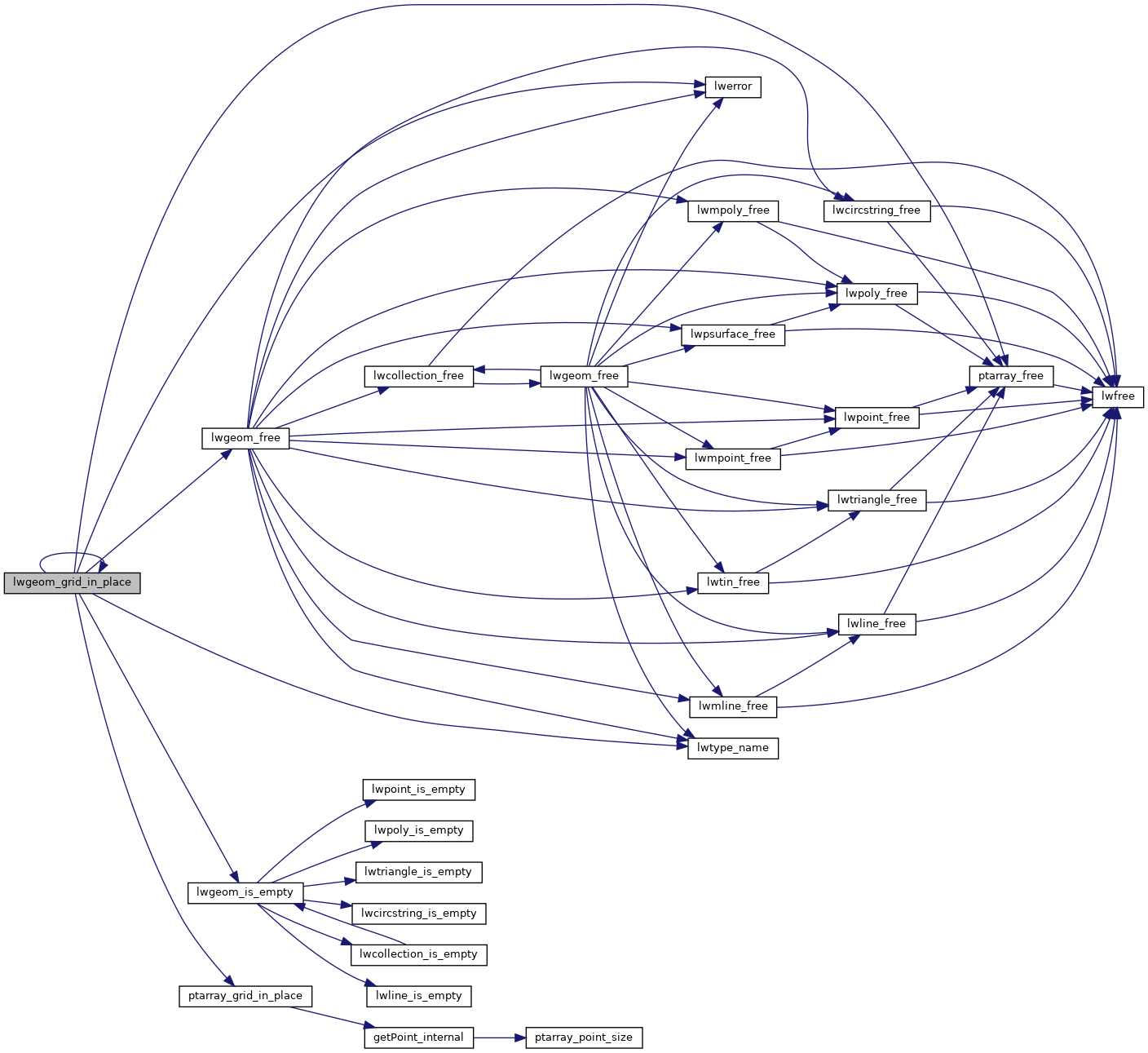
References CIRCSTRINGTYPE, COLLECTIONTYPE, COMPOUNDTYPE, LWCOLLECTION::geoms, LINETYPE, lwerror(), lwgeom_free(), lwgeom_grid_in_place(), lwgeom_is_empty(), lwtype_name(), MULTILINETYPE, MULTIPOINTTYPE, MULTIPOLYGONTYPE, LWCOLLECTION::ngeoms, POINTARRAY::npoints, LWPOLY::nrings, LWPOINT::point, LWLINE::points, POINTTYPE, POLYGONTYPE, ptarray_free(), ptarray_grid_in_place(), LWPOLY::rings, TINTYPE, TRIANGLETYPE, and LWGEOM::type.
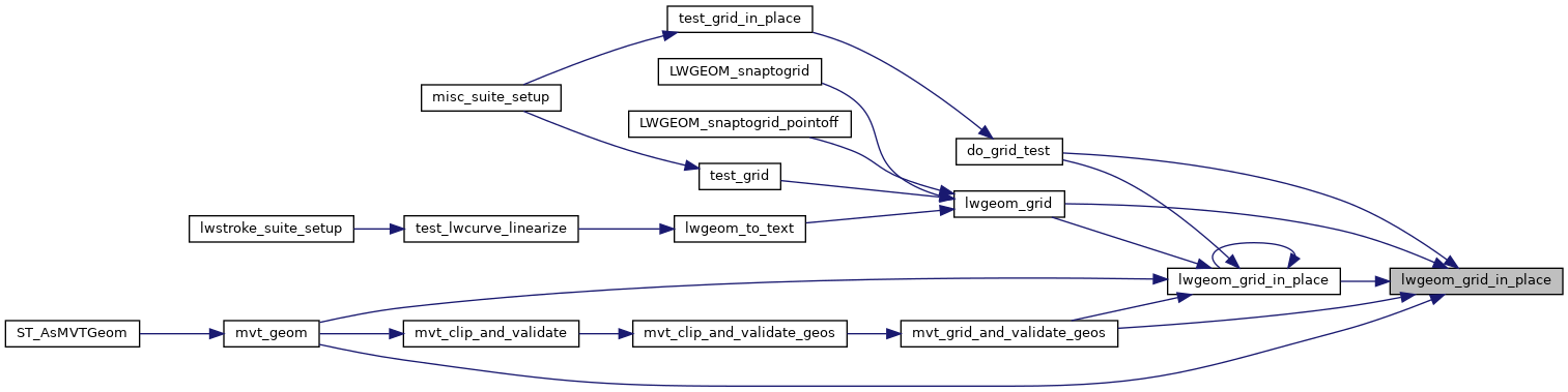
Referenced by do_grid_test(), lwgeom_grid(), lwgeom_grid_in_place(), mvt_geom(), and mvt_grid_and_validate_geos().
Here is the call graph for this function:
Here is the caller graph for this function: