Loading...
Searching...
No Matches
◆ lwgeom_nudge_geodetic()
|
extern |
Gently move coordinates of LWGEOM if they are close enough into geodetic range.
Gently move coordinates of LWGEOM if they are close enough into geodetic range.
This routine nudges those points, and only those points, back over to the bounds. http://trac.osgeo.org/postgis/ticket/1292
Definition at line 3404 of file lwgeodetic.c.
3405{
3407 uint32_t i = 0;
3409
3410 assert(geom);
3411
3412 /* No points in nothing */
3415
3417
3420
3423
3425 {
3428 {
3430 rv = (rv == LW_TRUE ? rv : n);
3431 }
3432 return rv;
3433 }
3434
3437
3439 {
3441
3443 {
3445 rv = (rv == LW_TRUE ? rv : n);
3446 }
3447 return rv;
3448 }
3449
3451 return rv;
3452}
const char * lwtype_name(uint8_t type)
Return the type name string associated with a type number (e.g.
Definition lwutil.c:216
int lwtype_is_collection(uint8_t type)
Determine whether a type number is a collection or not.
Definition lwgeom.c:1087
int lwgeom_nudge_geodetic(LWGEOM *geom)
When features are snapped or sometimes they are just this way, they are very close to the geodetic bo...
Definition lwgeodetic.c:3404
static int ptarray_nudge_geodetic(POINTARRAY *pa)
When features are snapped or sometimes they are just this way, they are very close to the geodetic bo...
Definition lwgeodetic.c:3352
static int lwgeom_is_empty(const LWGEOM *geom)
Return true or false depending on whether a geometry is an "empty" geometry (no vertices members)
Definition lwinline.h:193
Definition liblwgeom.h:559
Definition liblwgeom.h:467
Definition liblwgeom.h:455
Definition liblwgeom.h:503
Definition liblwgeom.h:479
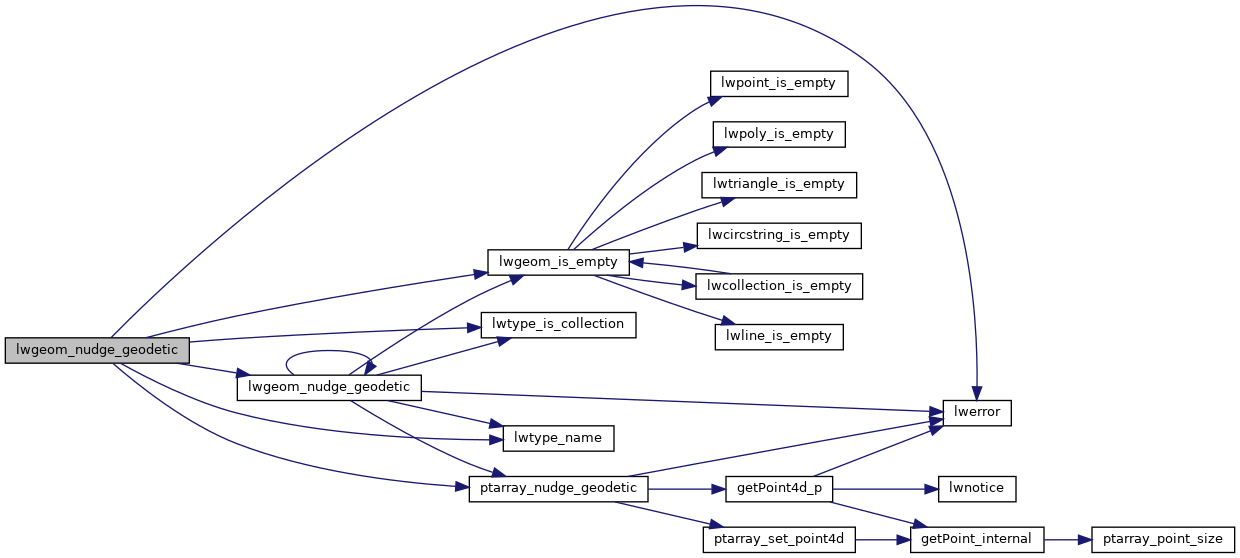
References LWCOLLECTION::geoms, LINETYPE, LW_FALSE, LW_TRUE, lwerror(), lwgeom_is_empty(), lwgeom_nudge_geodetic(), lwtype_is_collection(), lwtype_name(), LWCOLLECTION::ngeoms, LWPOLY::nrings, POINTTYPE, POLYGONTYPE, ptarray_nudge_geodetic(), LWPOLY::rings, TRIANGLETYPE, and LWGEOM::type.
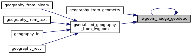
Referenced by geography_from_geometry(), gserialized_geography_from_lwgeom(), and lwgeom_nudge_geodetic().
Here is the call graph for this function:
Here is the caller graph for this function: