Loading...
Searching...
No Matches
◆ circ_tree_distance_tree_internal()
|
static |
Definition at line 678 of file lwgeodetic_tree.c.
679{
680 double max;
681 double d, d_min;
682 uint32_t i;
683
684 LWDEBUGF(4, "entered, min_dist=%.8g max_dist=%.8g, type1=%d, type2=%d", *min_dist, *max_dist, n1->geom_type, n2->geom_type);
685
686 // printf("-==-\n");
687 // circ_tree_print(n1, 0);
688 // printf("--\n");
689 // circ_tree_print(n2, 0);
690
691 /* Short circuit if we've already hit the minimum */
692 if( *min_dist < threshold || *min_dist == 0.0 )
693 return *min_dist;
694
695 /* If your minimum is greater than anyone's maximum, you can't hold the winner */
697 {
699 return FLT_MAX;
700 }
701
702 /* If your maximum is a new low, we'll use that as our new global tolerance */
703 max = circ_node_max_distance(n1, n2);
705 if( max < *max_dist )
706 *max_dist = max;
707
708 /* Polygon on one side, primitive type on the other. Check for point-in-polygon */
709 /* short circuit. */
711 {
712 POINT2D pt;
713 circ_tree_get_point(n2, &pt);
716 {
718 *min_dist = 0.0;
721 return *min_dist;
722 }
723 }
724 /* Polygon on one side, primitive type on the other. Check for point-in-polygon */
725 /* short circuit. */
727 {
728 POINT2D pt;
729 circ_tree_get_point(n1, &pt);
732 {
736 *min_dist = 0.0;
737 return *min_dist;
738 }
739 }
740
741 /* Both leaf nodes, do a real distance calculation */
743 {
744 double d;
745 GEOGRAPHIC_POINT close1, close2;
747 /* One of the nodes is a point */
749 {
750 GEOGRAPHIC_EDGE e;
751 GEOGRAPHIC_POINT gp1, gp2;
752
753 /* Both nodes are points! */
755 {
758 close1 = gp1; close2 = gp2;
759 d = sphere_distance(&gp1, &gp2);
760 }
761 /* Node 1 is a point */
763 {
767 close1 = gp1;
768 d = edge_distance_to_point(&e, &gp1, &close2);
769 }
770 /* Node 2 is a point */
771 else
772 {
776 close1 = gp1;
777 d = edge_distance_to_point(&e, &gp1, &close2);
778 }
780 }
781 /* Both nodes are edges */
782 else
783 {
784 GEOGRAPHIC_EDGE e1, e2;
785 GEOGRAPHIC_POINT g;
786 POINT3D A1, A2, B1, B2;
796 {
797 d = 0.0;
798 edge_intersection(&e1, &e2, &g);
799 close1 = close2 = g;
800 }
801 else
802 {
803 d = edge_distance_to_edge(&e1, &e2, &close1, &close2);
804 }
806 }
807 if ( d < *min_dist )
808 {
809 *min_dist = d;
810 *closest1 = close1;
811 *closest2 = close2;
812 }
813 return d;
814 }
815 else
816 {
817 d_min = FLT_MAX;
818 /* Drive the recursion into the COLLECTION types first so we end up with */
819 /* pairings of primitive geometries that can be forced into the point-in-polygon */
820 /* tests above. */
822 {
825 {
826 d = circ_tree_distance_tree_internal(n1->nodes[i], n2, threshold, min_dist, max_dist, closest1, closest2);
827 d_min = FP_MIN(d_min, d);
828 }
829 }
831 {
834 {
835 d = circ_tree_distance_tree_internal(n1, n2->nodes[i], threshold, min_dist, max_dist, closest1, closest2);
836 d_min = FP_MIN(d_min, d);
837 }
838 }
840 {
843 {
844 d = circ_tree_distance_tree_internal(n1->nodes[i], n2, threshold, min_dist, max_dist, closest1, closest2);
845 d_min = FP_MIN(d_min, d);
846 }
847 }
849 {
852 {
853 d = circ_tree_distance_tree_internal(n1, n2->nodes[i], threshold, min_dist, max_dist, closest1, closest2);
854 d_min = FP_MIN(d_min, d);
855 }
856 }
857 else
858 {
859 /* Never get here */
860 }
861
862 return d_min;
863 }
864}
int lwtype_is_collection(uint8_t type)
Determine whether a type number is a collection or not.
Definition lwgeom.c:1087
void geographic_point_init(double lon, double lat, GEOGRAPHIC_POINT *g)
Initialize a geographic point.
Definition lwgeodetic.c:180
double sphere_distance(const GEOGRAPHIC_POINT *s, const GEOGRAPHIC_POINT *e)
Given two points on a unit sphere, calculate their distance apart in radians.
Definition lwgeodetic.c:948
int edge_intersection(const GEOGRAPHIC_EDGE *e1, const GEOGRAPHIC_EDGE *e2, GEOGRAPHIC_POINT *g)
Returns true if an intersection can be calculated, and places it in *g.
Definition lwgeodetic.c:1127
uint32_t edge_intersects(const POINT3D *A1, const POINT3D *A2, const POINT3D *B1, const POINT3D *B2)
Returns non-zero if edges A and B interact.
Definition lwgeodetic.c:3541
double edge_distance_to_point(const GEOGRAPHIC_EDGE *e, const GEOGRAPHIC_POINT *gp, GEOGRAPHIC_POINT *closest)
Definition lwgeodetic.c:1218
void geog2cart(const GEOGRAPHIC_POINT *g, POINT3D *p)
Convert spherical coordinates to cartesian coordinates on unit sphere.
Definition lwgeodetic.c:404
double edge_distance_to_edge(const GEOGRAPHIC_EDGE *e1, const GEOGRAPHIC_EDGE *e2, GEOGRAPHIC_POINT *closest1, GEOGRAPHIC_POINT *closest2)
Calculate the distance between two edges.
Definition lwgeodetic.c:1269
int circ_tree_get_point(const CIRC_NODE *node, POINT2D *pt)
Returns a POINT2D that is a vertex of the input shape.
Definition lwgeodetic_tree.c:461
static double circ_node_max_distance(const CIRC_NODE *n1, const CIRC_NODE *n2)
Definition lwgeodetic_tree.c:603
static double circ_tree_distance_tree_internal(const CIRC_NODE *n1, const CIRC_NODE *n2, double threshold, double *min_dist, double *max_dist, GEOGRAPHIC_POINT *closest1, GEOGRAPHIC_POINT *closest2)
Definition lwgeodetic_tree.c:678
static int circ_node_is_leaf(const CIRC_NODE *node)
Internal nodes have their point references set to NULL.
Definition lwgeodetic_tree.c:40
static void circ_internal_nodes_sort(CIRC_NODE **nodes, uint32_t num_nodes, const CIRC_NODE *target_node)
Definition lwgeodetic_tree.c:653
static double circ_node_min_distance(const CIRC_NODE *n1, const CIRC_NODE *n2)
Definition lwgeodetic_tree.c:590
int circ_tree_contains_point(const CIRC_NODE *node, const POINT2D *pt, const POINT2D *pt_outside, int level, int *on_boundary)
Walk the tree and count intersections between the stab line and the edges.
Definition lwgeodetic_tree.c:495
Definition liblwgeom.h:375
Definition liblwgeom.h:387
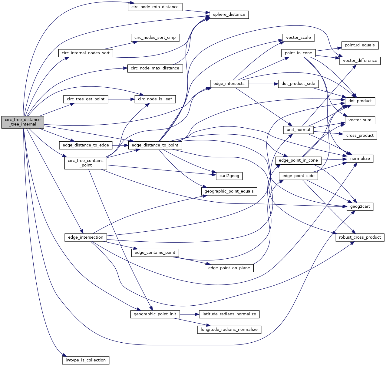
References circ_internal_nodes_sort(), circ_node_is_leaf(), circ_node_max_distance(), circ_node_min_distance(), circ_tree_contains_point(), circ_tree_distance_tree_internal(), circ_tree_get_point(), sort_node::d, edge_distance_to_edge(), edge_distance_to_point(), edge_intersection(), edge_intersects(), GEOGRAPHIC_EDGE::end, FP_MIN, geog2cart(), geographic_point_init(), LWDEBUG, LWDEBUGF, lwtype_is_collection(), POLYGONTYPE, sphere_distance(), GEOGRAPHIC_EDGE::start, POINT2D::x, and POINT2D::y.
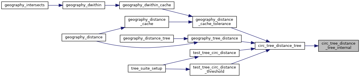
Referenced by circ_tree_distance_tree(), and circ_tree_distance_tree_internal().
Here is the call graph for this function:
Here is the caller graph for this function: