Loading...
Searching...
No Matches
◆ parse_gml_srs()
|
static |
Parse gml srsName attribute.
Definition at line 448 of file lwgeom_in_gml.c.
449{
450 char *p;
451 int is_planar;
452 xmlNodePtr node;
453 xmlChar *srsname;
454 bool latlon = false;
455 char sep = ':';
456
457 node = xnode;
459 /*printf("srsname %s\n",srsname);*/
460 if (!srsname)
461 {
462 if (node->parent == NULL)
463 {
466 return;
467 }
468 parse_gml_srs(node->parent, srs);
469 }
470 else
471 {
472 /* Severals srsName formats are available...
473 * cf WFS 1.1.0 -> 9.2 (p36)
474 * cf ISO 19142:2009 -> 7.9.2.4.4 (p34)
475 * cf RFC 5165 <http://tools.ietf.org/html/rfc5165>
476 * cf CITE WFS-1.1 (GetFeature-tc17.2)
477 */
478
479 /* SRS pattern like: EPSG:4326
480 urn:EPSG:geographicCRS:4326
481 urn:ogc:def:crs:EPSG:4326
482 urn:ogc:def:crs:EPSG::4326
483 urn:ogc:def:crs:EPSG:6.6:4326
484 urn:x-ogc:def:crs:EPSG:6.6:4326
485 http://www.opengis.net/gml/srs/epsg.xml#4326
486 http://www.epsg.org/6.11.2/4326
487 */
488
489 if (!strncmp((char *) srsname, "EPSG:", 5))
490 {
491 sep = ':';
492 latlon = false;
493 }
494 else if (!strncmp((char *) srsname, "urn:ogc:def:crs:EPSG:", 21)
495 || !strncmp((char *) srsname, "urn:x-ogc:def:crs:EPSG:", 23)
496 || !strncmp((char *) srsname, "urn:EPSG:geographicCRS:", 23))
497 {
498 sep = ':';
499 latlon = true;
500 }
501 else if (!strncmp((char *) srsname,
502 "http://www.opengis.net/gml/srs/epsg.xml#", 40))
503 {
504 sep = '#';
505 latlon = false;
506 }
508
509 /* retrieve the last ':' or '#' char */
510 for (p = (char *) srsname ; *p ; p++);
511 for (--p ; *p != sep ; p--)
513
514 srs->srid = atoi(++p);
515
516 /* Check into spatial_ref_sys that this SRID really exist */
520
521 /* About lat/lon issue, Cf: http://tinyurl.com/yjpr55z */
522 srs->reverse_axis = !is_planar && latlon;
523
524 xmlFree(srsname);
525 return;
526 }
527}
static xmlChar * gmlGetProp(xmlNodePtr xnode, const char *charProp)
Retrieve a GML property from a node or NULL otherwise Respect namespaces if presents in the node elem...
Definition lwgeom_in_gml.c:205
static void parse_gml_srs(xmlNodePtr xnode, gmlSrs *srs)
Parse gml srsName attribute.
Definition lwgeom_in_gml.c:448
static void gml_lwpgerror(char *msg, __attribute__((__unused__)) int error_code)
Definition lwgeom_in_gml.c:82
static int gml_is_srid_planar(int32_t srid)
Return 1 if given srid is planar (0 otherwise, i.e geocentric srid) Return -1 if srid is not in spati...
Definition lwgeom_in_gml.c:414
References gml_is_srid_planar(), gml_lwpgerror(), gmlGetProp(), parse_gml_srs(), struct_gmlSrs::reverse_axis, struct_gmlSrs::srid, and SRID_UNKNOWN.
Referenced by parse_gml(), parse_gml_coll(), parse_gml_curve(), parse_gml_data(), parse_gml_line(), parse_gml_linearring(), parse_gml_mcurve(), parse_gml_mline(), parse_gml_mpoint(), parse_gml_mpoly(), parse_gml_msurface(), parse_gml_patch(), parse_gml_point(), parse_gml_polygon(), parse_gml_psurface(), parse_gml_srs(), parse_gml_tin(), and parse_gml_triangle().
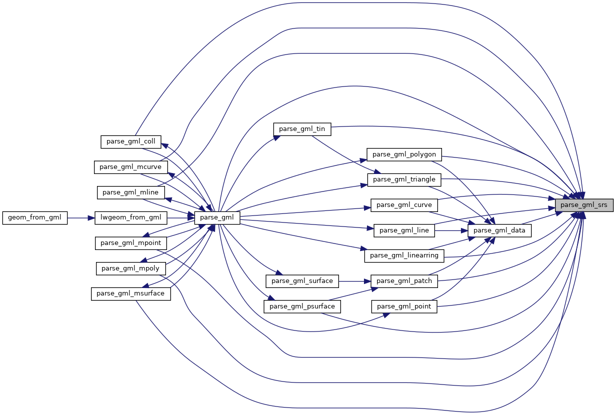
Here is the call graph for this function:
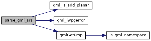
Here is the caller graph for this function: